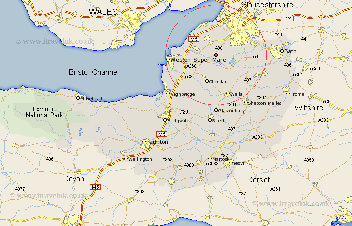
Somerset Map Showing Location of Redhill
Easting: 350114 Northing: 163369
Latitude: 51.37 Longitude: -2.72
 = Redhill
Latitude: 51.37 Longitude: -2.72
= Redhill
This Redhill map below is supplied by Google. Use the tools in the top left corner to zoom into street level or zoom out for a road map, you may also need to zoom in to see Redhill on the map. Click and drag the map to move around. If the map fails to load try and refresh your browser or zoom in or out (+ or -).
Update - it seems Google no longer allow people to use their maps for free! This Redhill map sometimes loads and sometimes gives a error. I am working on a solution.
Closest 30 Towns or Cities to Redhill (Population over 500)
Wrington 3.47km Blagdon 3.71km Winford 4.98km Bourton 5.68km Flax Bourton 5.68km Congresbury 5.79km Chew Stoke 6.08km Dundry 6.87km Churchill 6.88km Great Chew 6.94km Chew Magna 6.94km Yatton 7.18km Nailsea 8.18km Long Ashton 8.73km Compton Martin 8.74km Sandford 8.91km Wraxall 9.33km Shipham 9.41km East Harptree 9.41km Axbridge 10.93km Whitchurch 11.05km Portbury 11.12km Portishead 11.65km Cheddar 11.65km Banwell 11.81km Clevedon 11.85km Locking 12.16km Weston Down 12.53km Weston 12.53km Weston in Gordano 12.53km