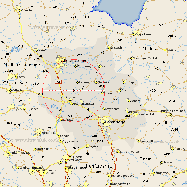
Cambridgeshire Map Showing Location of Raveley
District: Huntingdonshire
Easting: 525850 Northing: 279650
Latitude: 52.4 Longitude: -0.15
 = Raveley
Easting: 525850 Northing: 279650
Latitude: 52.4 Longitude: -0.15
= Raveley
This Raveley map below is supplied by Google. Use the tools in the top left corner to zoom into street level or zoom out for a road map, you may also need to zoom in to see Raveley on the map. Click and drag the map to move around. If the map fails to load try and refresh your browser or zoom in or out (+ or -).
Update - it seems Google no longer allow people to use their maps for free! This Raveley map sometimes loads and sometimes gives a error. I am working on a solution.
Closest 30 Towns or Cities to Raveley (Population over 500)
Wistow 3.39km Bury 3.87km Warboys 5.65km Ramsey 6km Huntingdon 7.75km Wyton 7.75km Sawtry 8.74km Alconbury 8.74km Holme 9.32km Durolipons 9.33km Godmanchester 9.33km Hemingford Grey 9.54km Hemingford 9.54km Hemingford Abbots 9.87km West Hemingford 9.87km Somersham 10.35km Brampton Grange 10.85km Brampton 10.85km Colne 11.9km St. Ives 12.48km Saint Ives 12.48km St Ives 12.48km Fen Stanton 12.48km Earith 12.61km Bluntisham 12.61km Stilton 12.94km Ellington 12.95km Needingworth 12.95km Yaxley 13.02km Offord Cluny 13.41km