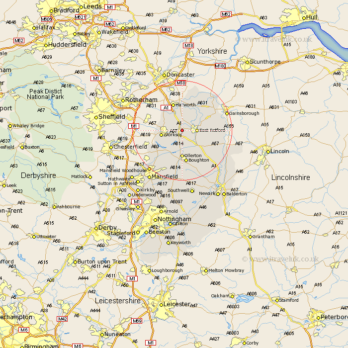
Nottinghamshire Map Showing Location of Ranby
District: Bassetlaw
Easting: 465500 Northing: 380455
Latitude: 53.32 Longitude: -1.02
 = Ranby
Easting: 465500 Northing: 380455
Latitude: 53.32 Longitude: -1.02
= Ranby
This Ranby map below is supplied by Google. Use the tools in the top left corner to zoom into street level or zoom out for a road map, you may also need to zoom in to see Ranby on the map. Click and drag the map to move around. If the map fails to load try and refresh your browser or zoom in or out (+ or -).
Update - it seems Google no longer allow people to use their maps for free! This Ranby map sometimes loads and sometimes gives a error. I am working on a solution.
Closest 30 Towns or Cities to Ranby (Population over 500)
Sutton 4.31km East Retford 5.54km Ramskill 5.56km Ranskill 5.56km Blyth 6.48km Elkesley 6.48km Elksley 6.48km Worksop 7.97km Grove 7.97km Hayton 8.59km Clarborough 8.59km Walesby 9.54km Mattersey 9.84km Shireoaks 9.96km Styrrup 10.27km Everton 10.27km Ollerton 11.12km Bircotes 11.34km Markham 11.56km East Markham 11.56km Harworth 11.6km Gringley 12.07km Gringley on the Hill 12.07km Gringley-on-the-Hill 12.07km Boughton 13.07km North Leverton 13.29km Tuxford 14.22km Bampton 14.51km Rampton 14.51km Misson 15.19km