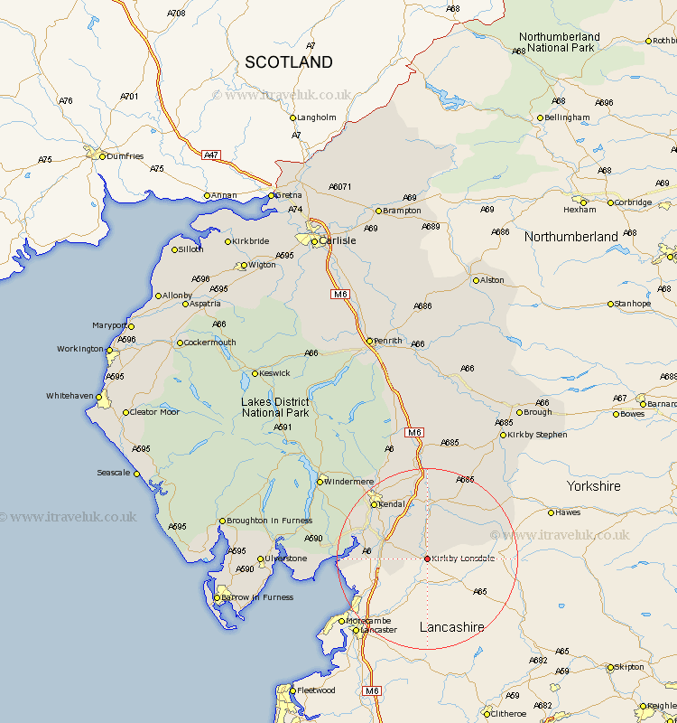
Cumbria Map Showing Location of Kirkby Lonsdale
Population: 1771
District: South Lakeland
Easting: 361950 Northing: 478425
Latitude: 54.2 Longitude: -2.58
 = Kirkby Lonsdale
District: South Lakeland
Easting: 361950 Northing: 478425
Latitude: 54.2 Longitude: -2.58
= Kirkby Lonsdale
This Kirkby Lonsdale map below is supplied by Google. Use the tools in the top left corner to zoom into street level or zoom out for a road map, you may also need to zoom in to see Kirkby Lonsdale on the map. Click and drag the map to move around. If the map fails to load try and refresh your browser or zoom in or out (+ or -).
Update - it seems Google no longer allow people to use their maps for free! This Kirkby Lonsdale map sometimes loads and sometimes gives a error. I am working on a solution.
Closest 30 Towns or Cities to Kirkby Lonsdale (Population over 500)
Holme 8.87km Dent 11.41km Beetham 11.93km Milnthorpe 12.07km Heversham 12.48km Natland 13.45km Millthrop 13.68km Milnthorpe 13.68km Sedbergh 13.68km Levens 14.14km Arnside 16.37km Kendal 16.9km Kendall 16.9km Staveley 23.94km Tebay 24.1km Lower Holker 25.01km Holker 25.01km Ravenstonedale 26.41km Haverthwaite 28.42km Windermere 28.49km Orton 29.67km Colton 31.22km Hawkshead 32.79km Kirkby Stephen 33.29km Ulverston 33.61km Ulverstone 33.61km Ambleside 34.63km Aldingham 34.89km Great Urswick 35.15km Crosby Ravensworth 35.21km