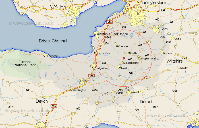
Somerset Map Showing Location of Polsham
District: Mendip
Easting: 351080 Northing: 142965
Latitude: 51.18 Longitude: -2.7
 = Polsham
Easting: 351080 Northing: 142965
Latitude: 51.18 Longitude: -2.7
= Polsham
This Polsham map below is supplied by Google. Use the tools in the top left corner to zoom into street level or zoom out for a road map, you may also need to zoom in to see Polsham on the map. Click and drag the map to move around. If the map fails to load try and refresh your browser or zoom in or out (+ or -).
Update - it seems Google no longer allow people to use their maps for free! This Polsham map sometimes loads and sometimes gives a error. I am working on a solution.
Closest 30 Towns or Cities to Polsham (Population over 500)
Wookey 2.19km Glastonbury 3.53km West Pennard 5.09km Wells 5.09km Westbury 5.68km Meare 6.1km Rodney Stoke 7.77km Baltonsborough 8.19km Street 8.19km Pilton 8.34km Walton 8.75km Priddy 8.75km Ashcott 8.92km Wedmore 8.94km Butleigh 9.34km Compton 9.34km Barton Saint David 9.9km Barton St. David 9.9km Barton St David 9.9km Cheddar 10.37km Shepton Mallet 10.45km Shepun 10.45km Shapwick 10.83km Chewton Mendip 12.33km Axbridge 13.12km Weare 13.12km Charlton Mackrell 13.17km Compton Martin 13.43km East Harptree 13.78km Ditcheat 13.78km