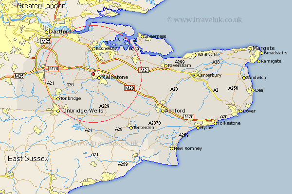
Kent Map Showing Location of Aylesford
Population: 23596
Area Size (ha): 787
District: Tonbridge and Malling
Easting: 573162 Northing: 156780
Latitude: 51.28 Longitude: 0.48
 = Aylesford
Area Size (ha): 787
District: Tonbridge and Malling
Easting: 573162 Northing: 156780
Latitude: 51.28 Longitude: 0.48
= Aylesford
This Aylesford map below is supplied by Google. Use the tools in the top left corner to zoom into street level or zoom out for a road map, you may also need to zoom in to see Aylesford on the map. Click and drag the map to move around. If the map fails to load try and refresh your browser or zoom in or out (+ or -).
Update - it seems Google no longer allow people to use their maps for free! This Aylesford map sometimes loads and sometimes gives a error. I am working on a solution.
Closest 30 Towns or Cities to Aylesford (Population over 500)
Maidstone 2.96km Burham 3.71km East Barming 3.88km Barming 3.88km East Malling 3.94km Boxley 4.64km Snodland 5.09km Wouldham 5.68km West Malling 5.8km Addington 5.8km Wateringbury 5.93km Loose 6.02km Bearsted 6.08km Detling 6.95km Ryarsh 7.2km Linton 7.76km Cuxton 7.77km Offham 8.11km Yalding 8.18km Boughton Monchelsea 8.18km Langley 8.91km Mereworth 8.92km Hunton 9.26km Leeds 10.82km Rochester 11.12km Strood 11.18km Chatham 11.36km East Peckham 11.59km Sutton Valence 11.59km Wrotham 11.74km