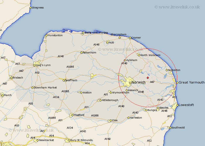
Norfolk Map Showing Location of Panxworth
District: Broadland
Easting: 634376 Northing: 313344
Latitude: 52.67 Longitude: 1.47
 = Panxworth
Easting: 634376 Northing: 313344
Latitude: 52.67 Longitude: 1.47
= Panxworth
This Panxworth map below is supplied by Google. Use the tools in the top left corner to zoom into street level or zoom out for a road map, you may also need to zoom in to see Panxworth on the map. Click and drag the map to move around. If the map fails to load try and refresh your browser or zoom in or out (+ or -).
Update - it seems Google no longer allow people to use their maps for free! This Panxworth map sometimes loads and sometimes gives a error. I am working on a solution.
Closest 30 Towns or Cities to Panxworth (Population over 500)
Salhouse 3.84km Horning 4.33km South Walsham 4.86km Great Plumstead 4.86km Lingwood 5.67km Blofield 5.67km Hoveton 5.69km Ludham 5.82km Wroxham 5.82km Upton 5.92km Brundall 6km Acle 6.74km Rackheath 6.99km Neatishead 7.41km Beeston St. Lawrence 7.49km Beeston 7.49km Beeston Saint Lawrence 7.49km Beeston St Lawrence 7.49km Catfield 8.66km Thorpe 8.7km Thorpe Episcopi 8.7km Thorpe next Norwich 8.7km Thorpe Saint Andrew 8.7km Thorpe St. Andrew 8.7km Thorpe St Andrew 8.7km Potter Heigham 8.73km Spixworth 8.99km Horstead 9.63km Coltishall 10.01km Sutton 10.29km