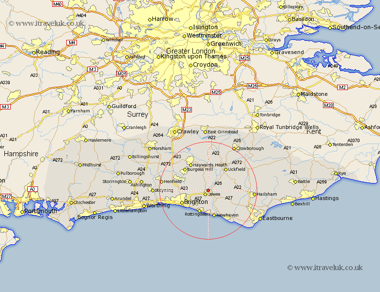
Sussex Map Showing Location of Offham
District: Lewes
Easting: 540671 Northing: 111279
Latitude: 50.88 Longitude: -0
 = Offham
Easting: 540671 Northing: 111279
Latitude: 50.88 Longitude: -0
= Offham
This Offham map below is supplied by Google. Use the tools in the top left corner to zoom into street level or zoom out for a road map, you may also need to zoom in to see Offham on the map. Click and drag the map to move around. If the map fails to load try and refresh your browser or zoom in or out (+ or -).
Update - it seems Google no longer allow people to use their maps for free! This Offham map sometimes loads and sometimes gives a error. I am working on a solution.
Closest 30 Towns or Cities to Offham (Population over 500)
Lewes 2.19km Barcombe Mills Station 2.99km Plumpton 3.51km Kingston 3.88km Kingston near Lewes 3.88km Ringmer 4.68km Isfield 7.26km Chailey 7.51km Ditchelling 7.93km Ditchling 7.93km Newick 9.34km Laughton 9.35km Wivelsfield 9.44km Rottingdean 9.91km Saltdean 9.97km Keymer 10.06km Hassocks 10.06km Chalvington 11.16km Fletching 11.36km Newhaven 11.36km Uckfield 11.62km Brighton 11.91km Framfield 11.93km Hurstpierpoint 12.26km East Hoathly 12.26km Maresfield 12.56km Chiddingly 12.99km Haywards Heath 13.14km Baywards Heath 13.14km Burgess Hill 13.16km