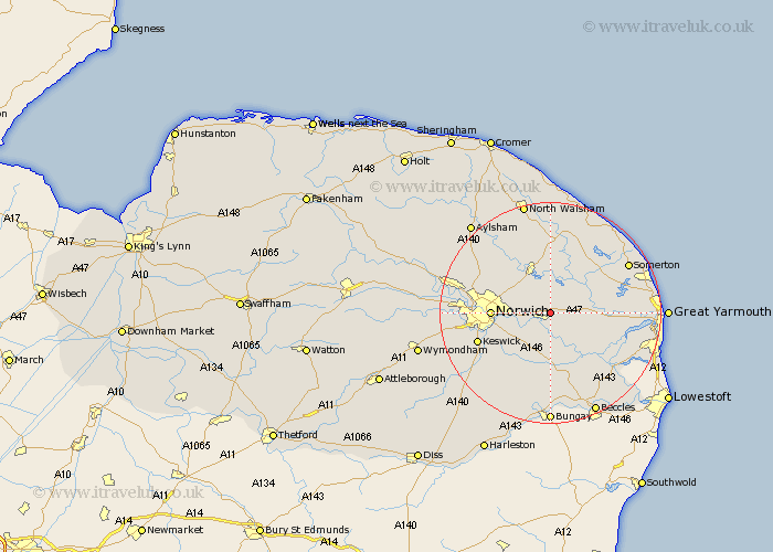
Norfolk Map Showing Location of North Burlingham
District: Broadland
Easting: 633428 Northing: 309577
Latitude: 52.63 Longitude: 1.45
 = North Burlingham
Easting: 633428 Northing: 309577
Latitude: 52.63 Longitude: 1.45
= North Burlingham
This North Burlingham map below is supplied by Google. Use the tools in the top left corner to zoom into street level or zoom out for a road map, you may also need to zoom in to see North Burlingham on the map. Click and drag the map to move around. If the map fails to load try and refresh your browser or zoom in or out (+ or -).
Update - it seems Google no longer allow people to use their maps for free! This North Burlingham map sometimes loads and sometimes gives a error. I am working on a solution.
Closest 30 Towns or Cities to North Burlingham (Population over 500)
Blofield 1.85km Brundall 2.16km Lingwood 2.91km Great Plumstead 3.85km South Walsham 5.92km Salhouse 6km Acle 6.75km Thorpe St Andrew 6.75km Thorpe Saint Andrew 6.75km Thorpe St. Andrew 6.75km Thorpe 6.75km Thorpe Episcopi 6.75km Thorpe next Norwich 6.75km Upton 7km Rackheath 7.91km Horning 8.15km Wroxham 8.15km Hoveton 8.17km Cantley 8.67km Spixworth 8.7km Freethorpe 8.75km Ludham 9.3km Thurton 9.33km Norwich 10.12km Brooke 10.3km Beeston 11.12km Beeston Saint Lawrence 11.12km Beeston St Lawrence 11.12km Beeston St. Lawrence 11.12km Neatishead 11.18km