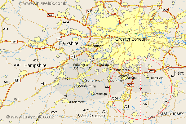
Surrey Map Showing Location of New Chapel
District: Tandridge
Easting: 536321 Northing: 142693
Latitude: 51.17 Longitude: -0.05
 = New Chapel
Easting: 536321 Northing: 142693
Latitude: 51.17 Longitude: -0.05
= New Chapel
This New Chapel map below is supplied by Google. Use the tools in the top left corner to zoom into street level or zoom out for a road map, you may also need to zoom in to see New Chapel on the map. Click and drag the map to move around. If the map fails to load try and refresh your browser or zoom in or out (+ or -).
Update - it seems Google no longer allow people to use their maps for free! This New Chapel map sometimes loads and sometimes gives a error. I am working on a solution.
Closest 30 Towns or Cities to New Chapel (Population over 500)
Horne 1.16km Lingfield 2.32km Burstow 5.1km Felbridge 5.68km Nutfield 7.25km Godstone 7.5km Tandridge 7.5km Oxted 7.76km Horley 8.14km Bletchingley 8.18km Limpsfield 8.74km Salfords 8.94km Redhill 11km Caterham 11.36km Charlwood 11.77km Woldingham 13.02km Leigh 13.3km Reigate 13.77km Tatsfield 14.21km Warlingham 14.82km Buckland 15.78km Betchworth 15.78km Newdigate 16.38km Farley 16.72km Farleigh 16.72km Whyteleafe 16.84km Tadworth 18.2km Banstead 18.55km Holmwood 18.68km Capel 18.97km