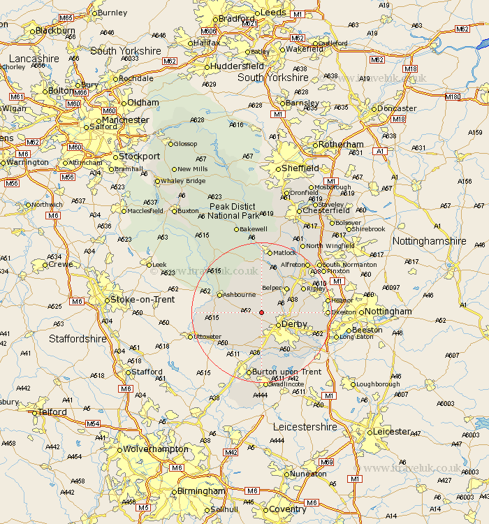
Derbyshire Map Showing Location of Mugginton
District: Derbyshire Dales
Easting: 429100 Northing: 341160
Latitude: 52.97 Longitude: -1.57
 = Mugginton
Easting: 429100 Northing: 341160
Latitude: 52.97 Longitude: -1.57
= Mugginton
This Mugginton map below is supplied by Google. Use the tools in the top left corner to zoom into street level or zoom out for a road map, you may also need to zoom in to see Mugginton on the map. Click and drag the map to move around. If the map fails to load try and refresh your browser or zoom in or out (+ or -).
Update - it seems Google no longer allow people to use their maps for free! This Mugginton map sometimes loads and sometimes gives a error. I am working on a solution.
Closest 30 Towns or Cities to Mugginton (Population over 500)
Kirk Langley 3.71km Brailsford 3.83km Quarndon 4.84km Duffield 5.58km Derby 5.81km Holbrook 7.65km Little Eaton 8.03km Breadsall 8.65km Burnaston 9.27km Kilbourn 9.66km Kilburn 9.66km Kilbourne 9.66km Belper 9.98km Heage 10.76km Ambergate Junction Station 10.81km Ambergate 10.81km Etwall 11.34km Smalley 12.41km Ashbourne 12.46km Denby 12.46km Clifton 12.82km Church Broughton 12.88km Wirksworth 12.96km Findern 13.17km Ripley 13.39km Crich 14.11km Brassington 14.11km Borrowash 14.35km West Hallam 14.63km Cromford 14.82km