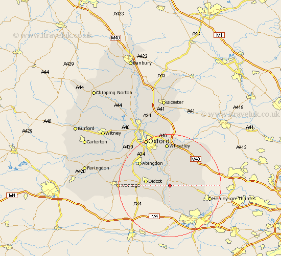
Oxfordshire Map Showing Location of Mongewell
District: South Oxfordshire
Easting: 461196 Northing: 187582
Latitude: 51.58 Longitude: -1.12
 = Mongewell
Easting: 461196 Northing: 187582
Latitude: 51.58 Longitude: -1.12
= Mongewell
This Mongewell map below is supplied by Google. Use the tools in the top left corner to zoom into street level or zoom out for a road map, you may also need to zoom in to see Mongewell on the map. Click and drag the map to move around. If the map fails to load try and refresh your browser or zoom in or out (+ or -).
Update - it seems Google no longer allow people to use their maps for free! This Mongewell map sometimes loads and sometimes gives a error. I am working on a solution.
Closest 30 Towns or Cities to Mongewell (Population over 500)
Wallingford 2.19km Cholsey 2.95km Warborough 3.89km Ewelme 3.92km Benson 5.56km Moulsford 6.02km Nuffield 6.05km Dorchester 6.54km Goring 7.49km Drayton 7.51km Drayton Saint Leonard 7.51km Drayton St. Leonard 7.51km Drayton St Leonard 7.51km Chalgrove 7.77km Hagbourne 8.06km East Hagbourne 8.06km Blewbury 8.87km Stadhampton 9.34km Clifton Hampden 9.39km Didcot 9.4km Nettlebed 9.4km Watlington 9.79km Long Wittenham 9.79km Chilton 11.01km Whitchurch 11.36km Harwell 11.66km Sutton Courtenay 11.76km Rotherfield Peppard 11.77km Bix 12.1km Garsington 13.18km