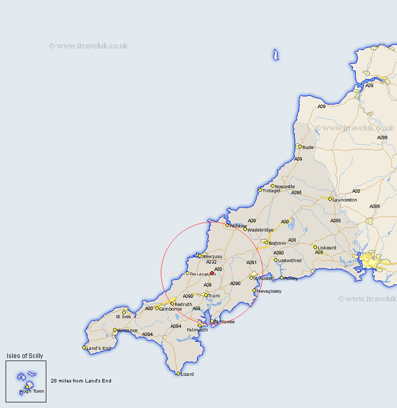
Cornwall Map Showing Location of Mitchell
District: Carrick
Easting: 185416 Northing: 54429
Latitude: 50.35 Longitude: -5.02
 = Mitchell
Easting: 185416 Northing: 54429
Latitude: 50.35 Longitude: -5.02
= Mitchell
This Mitchell map below is supplied by Google. Use the tools in the top left corner to zoom into street level or zoom out for a road map, you may also need to zoom in to see Mitchell on the map. Click and drag the map to move around. If the map fails to load try and refresh your browser or zoom in or out (+ or -).
Update - it seems Google no longer allow people to use their maps for free! This Mitchell map sometimes loads and sometimes gives a error. I am working on a solution.
Closest 30 Towns or Cities to Mitchell (Population over 500)
Ladock 6.01km Cubert 8km Saint Stephen 8.49km St Stephen 8.49km St. Stephen 8.49km Newquay 8.79km Probus 8.8km Crantock 9.01km Perranporth 9.46km Truro 9.56km Perranzabuloe 9.64km Kenwyn 9.92km St. Denis 10.16km St Dennis 10.16km Saint Denis 10.16km St Denis 10.16km Saint Dennis 10.16km St. Dennis 10.16km Saint Columb 10.99km St Columb 10.99km St. Columb 10.99km St Columb Major 10.99km Saint Columb Major 10.99km St. Columb Major 10.99km Creed 11.12km Tregoney 11.67km Kea 13.19km Roche 14.14km St. Agnes 14.67km St Agnes 14.67km