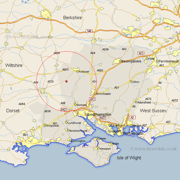
Hampshire Map Showing Location of Middle Wallop
District: Test Valley
Easting: 429150 Northing: 137254
Latitude: 51.13 Longitude: -1.58
 = Middle Wallop
Easting: 429150 Northing: 137254
Latitude: 51.13 Longitude: -1.58
= Middle Wallop
This Middle Wallop map below is supplied by Google. Use the tools in the top left corner to zoom into street level or zoom out for a road map, you may also need to zoom in to see Middle Wallop on the map. Click and drag the map to move around. If the map fails to load try and refresh your browser or zoom in or out (+ or -).
Update - it seems Google no longer allow people to use their maps for free! This Middle Wallop map sometimes loads and sometimes gives a error. I am working on a solution.
Closest 30 Towns or Cities to Middle Wallop (Population over 500)
Over Wallop 1.16km Nether Wallop 2.18km Broughton 6.03km Abbotts Ann 7.25km Abbots Ann 7.25km Thruxton 7.42km Stockbridge 7.9km Goodworth Clatford 7.9km Clatford 7.9km Lower Clatford 7.9km Upper Clatford 8.92km Kings Somborne 10.18km Andover 10.18km Chilbolton 10.63km Michlemersh 12.55km Michelmersh 12.55km Longparish 13.94km Tangley 15.54km Barton Stacey 15.56km Sparsholt 15.81km Sherfield English 16.68km Hurstbourne Tarrant 17.5km Romsey 17.67km Hursley 18.22km West Wellow 18.53km Wonston 18.7km Vernhams Dean 19.11km Vernham Dean 19.11km Whitchurch 19.74km Winchester 20.48km