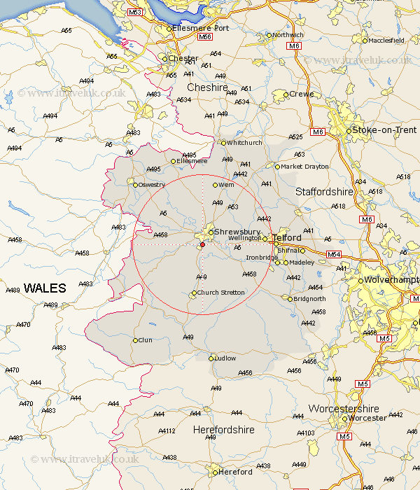
Shropshire Map Showing Location of Meole Brace
District: Shrewsbury and Atcham
Easting: 348178 Northing: 309825
Latitude: 52.68 Longitude: -2.77
 = Meole Brace
Easting: 348178 Northing: 309825
Latitude: 52.68 Longitude: -2.77
= Meole Brace
This Meole Brace map below is supplied by Google. Use the tools in the top left corner to zoom into street level or zoom out for a road map, you may also need to zoom in to see Meole Brace on the map. Click and drag the map to move around. If the map fails to load try and refresh your browser or zoom in or out (+ or -).
Update - it seems Google no longer allow people to use their maps for free! This Meole Brace map sometimes loads and sometimes gives a error. I am working on a solution.
Closest 30 Towns or Cities to Meole Brace (Population over 500)
Baystonhill 2.16km Hanwood 3.37km Great Hanwood 3.37km Condover 3.87km Shrewsbury 4.34km Berrington 5.82km Bicton 6.5km Ford 6.73km Pontesbury 8.69km Hadnall 9.87km Rodington 11.53km Cressage 11.54km Westbury 12.36km Minsterley 12.54km Alberbury 12.9km Great Ness 12.91km Baschurch 13km Ercall Magna 13.45km High Ercall 13.45km Wrockwardine 13.61km Shawbury 13.61km Church Stretton 14.99km Stanton upon Hine Heath 16.78km Stanton 16.78km Wellington 16.95km Much Wenlock 17.31km Kinnerley 18.34km Shelve 18.37km Rushbury 18.83km Wem 18.84km