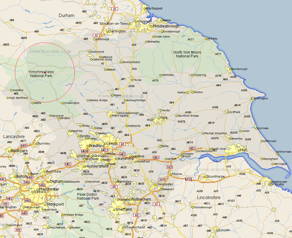
Yorkshire Map Showing Location of Marsett
District: Richmondshire
Easting: 390231 Northing: 485699
Latitude: 54.27 Longitude: -2.15
 = Marsett
Easting: 390231 Northing: 485699
Latitude: 54.27 Longitude: -2.15
= Marsett
This Marsett map below is supplied by Google. Use the tools in the top left corner to zoom into street level or zoom out for a road map, you may also need to zoom in to see Marsett on the map. Click and drag the map to move around. If the map fails to load try and refresh your browser or zoom in or out (+ or -).
Update - it seems Google no longer allow people to use their maps for free! This Marsett map sometimes loads and sometimes gives a error. I am working on a solution.
Closest 30 Towns or Cities to Marsett (Population over 500)
Hawes 4.92km Bradley 13.15km Middleham 21.72km Leyburn 21.95km Settle 23.5km Clapham 23.96km Ingleton 24.34km Grassington 24.75km Giggleswick 25.26km Threshfield 25.61km Burton in Lonsdale 29.01km Bentham 29.36km High Bentham 29.36km Long Preston 30.36km Richmond 30.81km Gargrave 31.68km Hellifield 31.81km Bewerley 32.22km Masham 32.96km Gilling 33.64km Grewelthorpe 33.8km Kirkby Malzeard 34.36km Skipton 34.47km Crakehall 34.82km Embsay 35.08km Catterick 35.31km Bedale 36.84km Dacre 37.1km Carlton 37.64km Carleton 37.64km