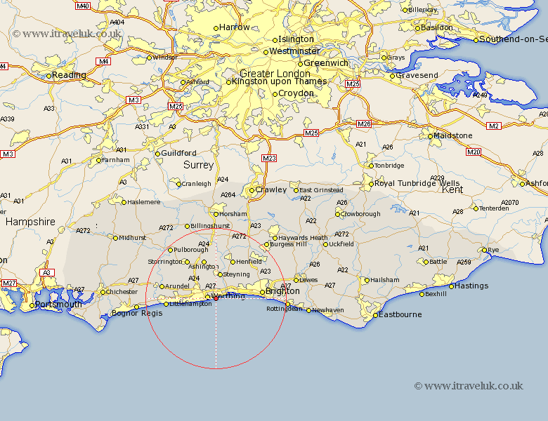
Sussex Map Showing Location of North Lancing
Population: 29362
Area Size (ha): 675
District: Adur
Easting: 517394 Northing: 103292
Latitude: 50.82 Longitude: -0.33
 = North Lancing
Area Size (ha): 675
District: Adur
Easting: 517394 Northing: 103292
Latitude: 50.82 Longitude: -0.33
= North Lancing
This North Lancing map below is supplied by Google. Use the tools in the top left corner to zoom into street level or zoom out for a road map, you may also need to zoom in to see North Lancing on the map. Click and drag the map to move around. If the map fails to load try and refresh your browser or zoom in or out (+ or -).
Update - it seems Google no longer allow people to use their maps for free! This North Lancing map sometimes loads and sometimes gives a error. I am working on a solution.
Closest 30 Towns or Cities to North Lancing (Population over 500)
Sompting 1.17km Worthing 2.37km Findon 5.97km Shoreham-by-Sea 7.26km New Shoreham 7.26km Shoreham 7.26km Shoreham by Sea 7.26km Bramber 7.5km Upper Bleeding 7.5km Upper Beeding 7.5km Steyning 7.5km Portslade 8.4km Southwick 8.4km Ferring 8.41km West Ferring 8.41km Kingston 9km East Preston 10.08km Preston 10.08km Washington 10.38km Angmering 10.54km Hove 10.7km Ashington 11.66km Rustington 11.86km Henfield 12.06km Brighton 13.01km Storrington 13.92km Littlehampton 14.17km Thakeham 14.22km West Chillington 15.33km West Chiltington 15.33km