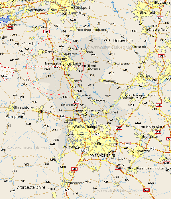
Staffordshire Map Showing Location of Madeley Heath
District: Newcastle-under-Lyme
Easting: 378750 Northing: 344823
Latitude: 53 Longitude: -2.32
 = Madeley Heath
Easting: 378750 Northing: 344823
Latitude: 53 Longitude: -2.32
= Madeley Heath
This Madeley Heath map below is supplied by Google. Use the tools in the top left corner to zoom into street level or zoom out for a road map, you may also need to zoom in to see Madeley Heath on the map. Click and drag the map to move around. If the map fails to load try and refresh your browser or zoom in or out (+ or -).
Update - it seems Google no longer allow people to use their maps for free! This Madeley Heath map sometimes loads and sometimes gives a error. I am working on a solution.
Closest 30 Towns or Cities to Madeley Heath (Population over 500)
Madeley 1.11km Keele 2.23km Silverdale 2.9km Whitmore 4.32km Betley 4.99km Newcastle under Lyme 5.58km Newcastle-under-Lyme 5.58km Audley 5.67km Stoke upon Trent 8.92km Stoke 8.92km Stoke-upon-Trent 8.92km Stoke on Trent 8.92km Stoke-on-Trent 8.92km Standon 9.53km Kidsgrove 10.81km Swinnerton 11.43km Swynnerton 11.43km Barlaston 11.48km Endon 16.27km Biddulph 16.4km Stone 16.57km Caverswall 16.84km Eccleshall 17.27km Fulford 17.64km Hilderstone 18.17km High Offley 18.57km Adbaston 18.67km Draycott 19.33km Draycott in the Moors 19.33km Cheddleton 19.75km