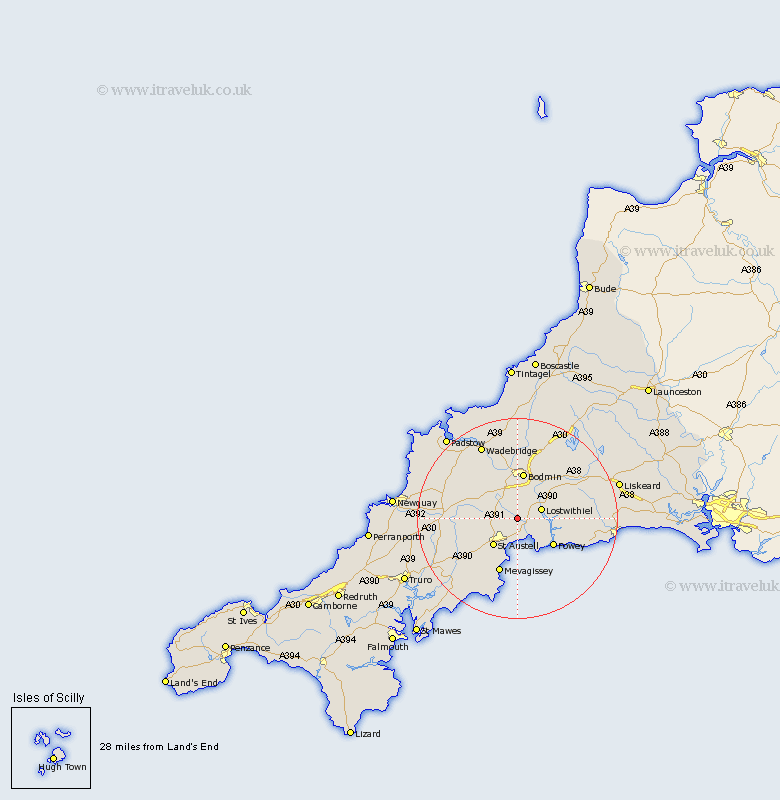
Cornwall Map Showing Location of Luxulian
District: Restormel
Easting: 205704 Northing: 57351
Latitude: 50.38 Longitude: -4.73
 = Luxulian
Easting: 205704 Northing: 57351
Latitude: 50.38 Longitude: -4.73
= Luxulian
This Luxulian map below is supplied by Google. Use the tools in the top left corner to zoom into street level or zoom out for a road map, you may also need to zoom in to see Luxulian on the map. Click and drag the map to move around. If the map fails to load try and refresh your browser or zoom in or out (+ or -).
Update - it seems Google no longer allow people to use their maps for free! This Luxulian map sometimes loads and sometimes gives a error. I am working on a solution.
Closest 30 Towns or Cities to Luxulian (Population over 500)
Saint Blazey 2.2km St Blazey 2.2km St. Blazey 2.2km Par 3.89km Bugle 4.73km Stenalees 4.73km Lostwithiel 5.08km Tywardreath 5.13km St. Austell 7.3km Saint Austell 7.3km St Austell 7.3km Roche 7.33km Lanivet 7.78km Fowey 9.01km Bodmin 9.35km Lanteglos 9.97km St. Denis 10.64km Saint Dennis 10.64km Saint Denis 10.64km St Dennis 10.64km St Denis 10.64km St. Dennis 10.64km Mevagissey 11.67km Mevegissey 11.67km Lanreath 11.82km Lansallos 11.96km Cardinham 12.59km Cardingham 12.59km St. Stephen 13.07km Saint Stephen 13.07km