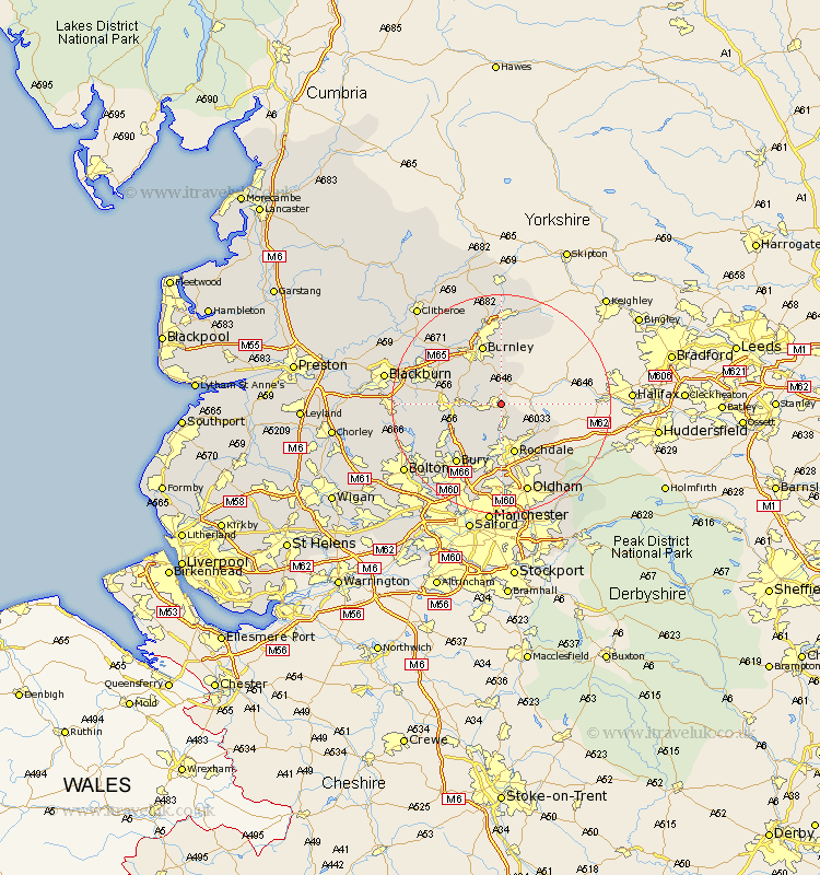
Lancashire Map Showing Location of Bacup
Population: 13415
Area Size (ha): 290
District: Rossendale
Easting: 387897 Northing: 422658
Latitude: 53.7 Longitude: -2.18
 = Bacup
Area Size (ha): 290
District: Rossendale
Easting: 387897 Northing: 422658
Latitude: 53.7 Longitude: -2.18
= Bacup
This Bacup map below is supplied by Google. Use the tools in the top left corner to zoom into street level or zoom out for a road map, you may also need to zoom in to see Bacup on the map. Click and drag the map to move around. If the map fails to load try and refresh your browser or zoom in or out (+ or -).
Update - it seems Google no longer allow people to use their maps for free! This Bacup map sometimes loads and sometimes gives a error. I am working on a solution.
Closest 30 Towns or Cities to Bacup (Population over 500)
Whitworth 5.56km Wardle 6.46km Rawtenstall 6.58km Edenfield 8.53km Littleborough 9.23km Rochdale 9.52km Haslingden 9.87km Ramsbottom 11.5km Burnley 11.6km Milnrow 12.4km Hapton 12.76km Padiham 12.76km Heywood 13.16km Accrington 13.24km Brierfield 13.39km Bury 13.52km Altham 13.53km Church 14.28km Simonstone 14.35km Oswaldtwistle 14.73km Nelson 14.86km Tottington 14.88km Clayton-le-Moors 15.1km Clayton le Moor 15.1km Clayton le Moors 15.1km Royton 15.46km Turton 16.09km Shaw 16.22km Sabden 16.3km Rishton 16.33km