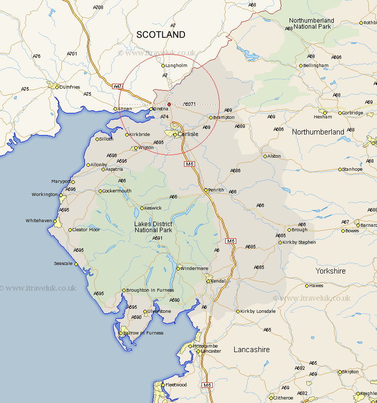
Cumbria Map Showing Location of Longtown
Population: 2533
Area Size (ha): 53
District: Carlisle
Easting: 338170 Northing: 567704
Latitude: 55 Longitude: -2.97
 = Longtown
Area Size (ha): 53
District: Carlisle
Easting: 338170 Northing: 567704
Latitude: 55 Longitude: -2.97
= Longtown
This Longtown map below is supplied by Google. Use the tools in the top left corner to zoom into street level or zoom out for a road map, you may also need to zoom in to see Longtown on the map. Click and drag the map to move around. If the map fails to load try and refresh your browser or zoom in or out (+ or -).
Update - it seems Google no longer allow people to use their maps for free! This Longtown map sometimes loads and sometimes gives a error. I am working on a solution.
Closest 30 Towns or Cities to Longtown (Population over 500)
Rockcliff 7.49km Rockcliffe 7.49km Burgh-by-Sands 10.68km Burgh by Sands 10.68km Burgh 10.68km Stanwix 11.32km Carlisle 13.15km Irthington 14.76km Brampton 15.9km Bowness-on-Solway 16.9km Bowness on Solway 16.9km Wetheral 17.65km Hayton 17.75km Dalston 18.57km Thursby 19.29km Kirkbride 19.76km Farlam 20.32km Wigton 21.93km Westward 26.35km Ainstable 26.78km Bromfield 29.37km Silloth 29.54km Hesket Newmarket 29.83km Caldbeck 30.13km Kirkoswald 31.05km Skelton 33.97km Lazonby 34.21km Lasonby 34.21km Aspatria 36.37km Greystoke 39.44km