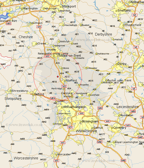
Staffordshire Map Showing Location of Little Bridgeford
District: Stafford
Easting: 387650 Northing: 326249
Latitude: 52.83 Longitude: -2.18
 = Little Bridgeford
Easting: 387650 Northing: 326249
Latitude: 52.83 Longitude: -2.18
= Little Bridgeford
This Little Bridgeford map below is supplied by Google. Use the tools in the top left corner to zoom into street level or zoom out for a road map, you may also need to zoom in to see Little Bridgeford on the map. Click and drag the map to move around. If the map fails to load try and refresh your browser or zoom in or out (+ or -).
Update - it seems Google no longer allow people to use their maps for free! This Little Bridgeford map sometimes loads and sometimes gives a error. I am working on a solution.
Closest 30 Towns or Cities to Little Bridgeford (Population over 500)
Seighford 1.85km Eccleshall 4.85km Hopton 5.6km Haughton 5.67km Stafford 6.71km Gnossall 7.14km Gnosall 7.14km Stone 8.14km Swynnerton 9.54km Swinnerton 9.54km Church Eaton 9.85km High Offley 10.08km Bednall 10.79km Adbaston 11.2km Weston 11.2km Weston upon Trent 11.2km Hilderstone 11.45km Standon 11.45km Penkridge 11.99km Barlaston 13.02km Wheaton Aston 13.16km Colwich 14.55km Blymhill 14.61km Fulford 15.15km Weston-under-Lizard 16.28km Weston 16.28km Weston under Lizard 16.28km Whitmore 16.28km Brewood 16.72km Church Leigh 17.25km