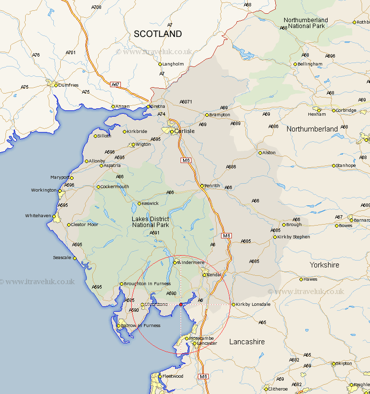
Cumbria Map Showing Location of Lindale
District: South Lakeland
Easting: 342382 Northing: 478628
Latitude: 54.2 Longitude: -2.88
 = Lindale
Easting: 342382 Northing: 478628
Latitude: 54.2 Longitude: -2.88
= Lindale
This Lindale map below is supplied by Google. Use the tools in the top left corner to zoom into street level or zoom out for a road map, you may also need to zoom in to see Lindale on the map. Click and drag the map to move around. If the map fails to load try and refresh your browser or zoom in or out (+ or -).
Update - it seems Google no longer allow people to use their maps for free! This Lindale map sometimes loads and sometimes gives a error. I am working on a solution.
Closest 30 Towns or Cities to Lindale (Population over 500)
Arnside 3.75km Holker 5.73km Lower Holker 5.73km Beetham 7.59km Milnthorpe 7.81km Heversham 8.44km Levens 8.55km Haverthwaite 9.43km Holme 11km Colton 13.13km Natland 13.45km Ulverstone 14.09km Ulverston 14.09km Kendal 15.6km Kendall 15.6km Great Urswick 16.17km Pennington 16.37km Aldingham 16.88km Lindal in Furness 17.74km Lindal 17.74km Windermere 18.66km Staveley 19.03km Dalton in Furness 19.26km Dalton 19.26km Kirkby Londsdale 19.51km Kirkby Lonsdale 19.51km Hawkshead 20.02km Askam in Furness 21.77km Askam 21.77km Coniston 22.03km