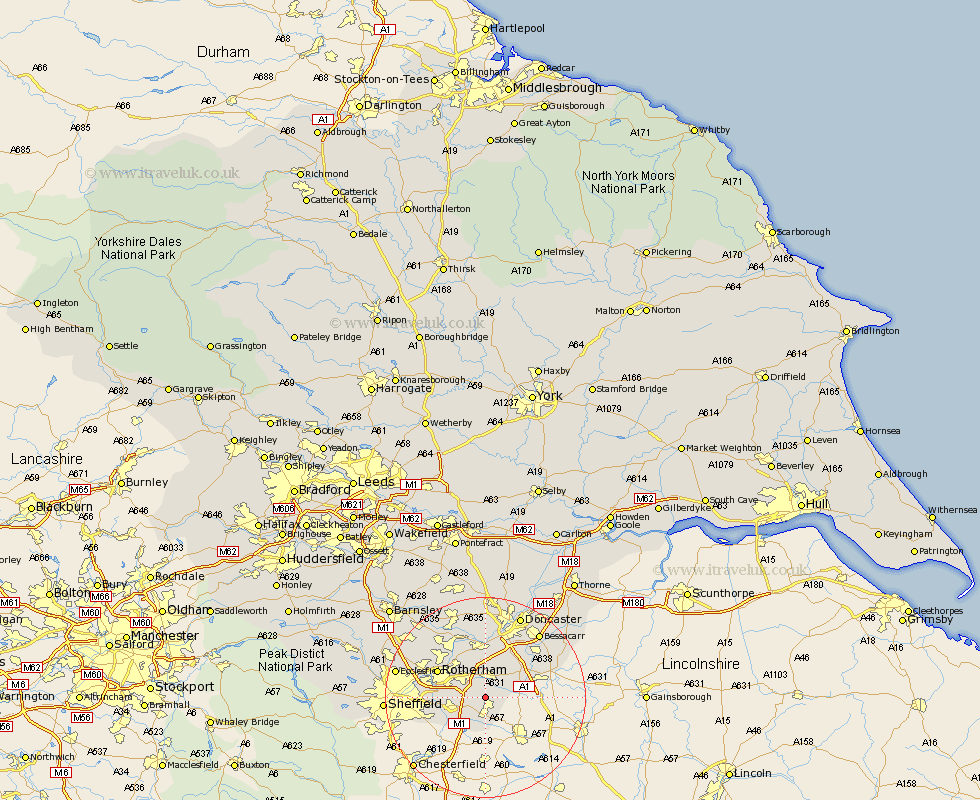
Yorkshire Map Showing Location of Laughton En Le Morthern
District: Rotherham
Easting: 452097 Northing: 387698
Latitude: 53.38 Longitude: -1.22
 = Laughton En Le Morthern
Easting: 452097 Northing: 387698
Latitude: 53.38 Longitude: -1.22
= Laughton En Le Morthern
This Laughton En Le Morthern map below is supplied by Google. Use the tools in the top left corner to zoom into street level or zoom out for a road map, you may also need to zoom in to see Laughton En Le Morthern on the map. Click and drag the map to move around. If the map fails to load try and refresh your browser or zoom in or out (+ or -).
Update - it seems Google no longer allow people to use their maps for free! This Laughton En Le Morthern map sometimes loads and sometimes gives a error. I am working on a solution.
Closest 30 Towns or Cities to Laughton En Le Morthern (Population over 500)
Anston 1.92km Dinnington 2.15km Brampton en le Morthen 3.32km Brampton en le Morthern 3.32km Brampton 3.32km Maltby 3.88km Todwick 4.31km Woodsetts 4.97km Bramley 4.98km Braithwell 5.67km Wickersley 5.77km Aston 6.65km Wales 7.1km Thorpe Salvin 7.41km Tickhill 7.6km Whiston 7.96km Harthill 8.11km Treeton 8.84km Thrybergh 9.25km Conisbrough 9.27km Conisborough 9.27km Beighton 9.53km Orgreave 9.95km Wadsworth 10.27km Wadworth 10.27km Rotherham 10.44km Rotherdam 10.44km Rawmarsh 10.71km Mexborough 11.6km Bawtry 12.71km