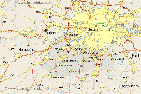
Surrey Map Showing Location of Lashenden
District: Waverley
Easting: 494446 Northing: 138038
Latitude: 51.13 Longitude: -0.65
 = Lashenden
Easting: 494446 Northing: 138038
Latitude: 51.13 Longitude: -0.65
= Lashenden
This Lashenden map below is supplied by Google. Use the tools in the top left corner to zoom into street level or zoom out for a road map, you may also need to zoom in to see Lashenden on the map. Click and drag the map to move around. If the map fails to load try and refresh your browser or zoom in or out (+ or -).
Update - it seems Google no longer allow people to use their maps for free! This Lashenden map sometimes loads and sometimes gives a error. I am working on a solution.
Closest 30 Towns or Cities to Lashenden (Population over 500)
Witley 1.16km Hambledon 2.97km Milford 3.89km Chiddingfold 4.37km Thursley 4.65km Elstead 5.1km Goldaming 6.56km Godalming 6.56km Haslemere 6.56km Hindhead 6.9km Dunsfold 6.9km Compton 7.51km Puttenham 7.51km Seale 8.75km Bramley 8.92km Shalford 9.42km Wonersh 9.85km Frensham 10.63km Alfold 10.84km Tongham 10.94km Guildford 10.94km Guilford 10.94km Cranleigh 11.63km Farnham 12.82km Normandy 13.03km St. Martha 13.13km St Martha 13.13km Chilworth 13.13km Saint Martha 13.13km Albury 13.79km