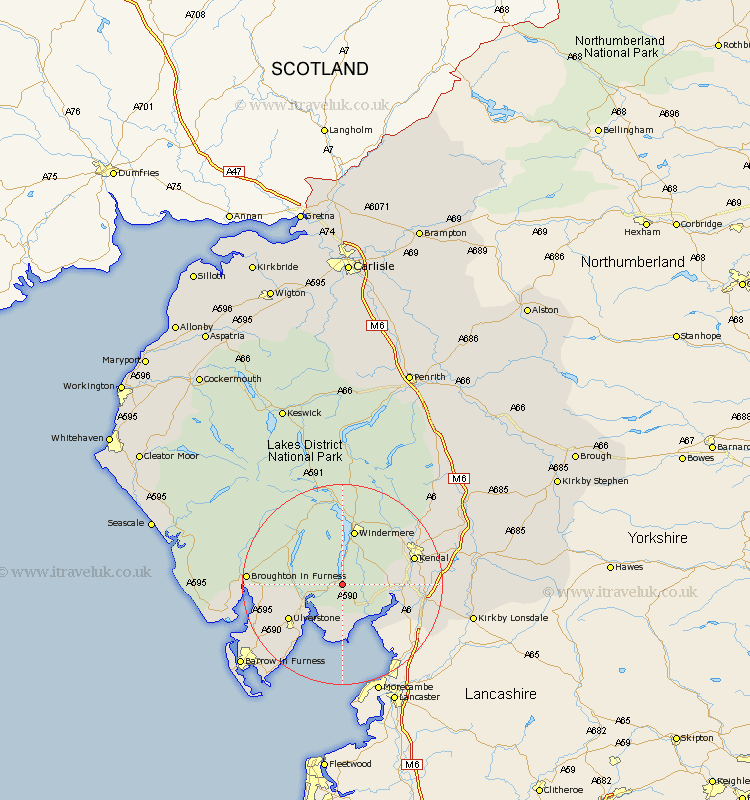
Cumbria Map Showing Location of Lake Side
District: South Lakeland
Easting: 338133 Northing: 486105
Latitude: 54.27 Longitude: -2.95
 = Lake Side
Easting: 338133 Northing: 486105
Latitude: 54.27 Longitude: -2.95
= Lake Side
This Lake Side map below is supplied by Google. Use the tools in the top left corner to zoom into street level or zoom out for a road map, you may also need to zoom in to see Lake Side on the map. Click and drag the map to move around. If the map fails to load try and refresh your browser or zoom in or out (+ or -).
Update - it seems Google no longer allow people to use their maps for free! This Lake Side map sometimes loads and sometimes gives a error. I am working on a solution.
Closest 30 Towns or Cities to Lake Side (Population over 500)
Haverthwaite 5.71km Colton 6.49km Holker 9.34km Lower Holker 9.34km Levens 10.98km Windermere 11.33km Hawkshead 11.58km Arnside 11.98km Ulverstone 12.25km Ulverston 12.25km Heversham 12.48km Milnthorpe 13.15km Conistan 13.45km Coniston 13.45km Beetham 14.03km Staveley 14.09km Kendal 14.12km Kendall 14.12km Natland 14.19km Pennington 15.1km Ambleside 16.71km Great Urswick 16.91km Lindal 17.11km Lindal in Furness 17.11km Holme 17.78km Dalton 19.16km Dalton in Furness 19.16km Aldingham 19.32km Askam 19.66km Askam in Furness 19.66km