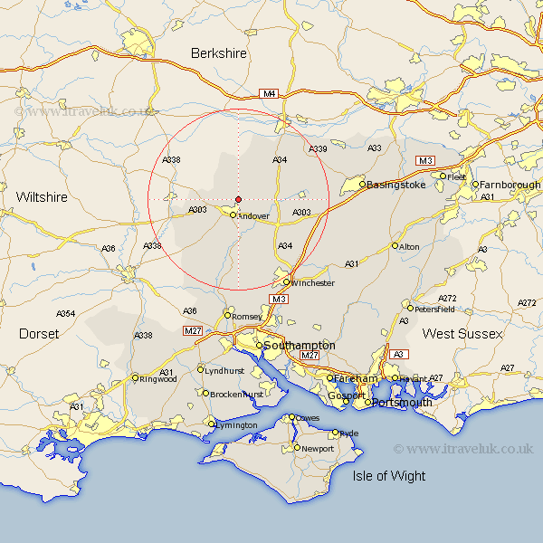
Hampshire Map Showing Location of Knights Enham
District: Test Valley
Easting: 437231 Northing: 148427
Latitude: 51.23 Longitude: -1.47
 = Knights Enham
Easting: 437231 Northing: 148427
Latitude: 51.23 Longitude: -1.47
= Knights Enham
This Knights Enham map below is supplied by Google. Use the tools in the top left corner to zoom into street level or zoom out for a road map, you may also need to zoom in to see Knights Enham on the map. Click and drag the map to move around. If the map fails to load try and refresh your browser or zoom in or out (+ or -).
Update - it seems Google no longer allow people to use their maps for free! This Knights Enham map sometimes loads and sometimes gives a error. I am working on a solution.
Closest 30 Towns or Cities to Knights Enham (Population over 500)
Andover 3.88km Hurstbourne Tarrant 3.89km Tangley 5.09km Upper Clatford 5.68km Abbotts Ann 6.56km Abbots Ann 6.56km Longparish 7.24km Lower Clatford 7.5km Clatford 7.5km Goodworth Clatford 7.5km Vernham Dean 8.19km Vernhams Dean 8.19km Thruxton 8.93km Whitchurch 9.47km Chilbolton 9.55km Barton Stacey 10.17km East Woodhay 13.43km Burghclere 13.96km Wonston 13.97km Highclere 14.48km Over Wallop 14.49km Nether Wallop 14.72km Stockbridge 14.87km Overton 15.09km Broughton 17.66km Kingsclere 17.7km Ecchinswell 17.81km Micheldever 17.83km Kings Somborne 18.56km Sparsholt 19.42km