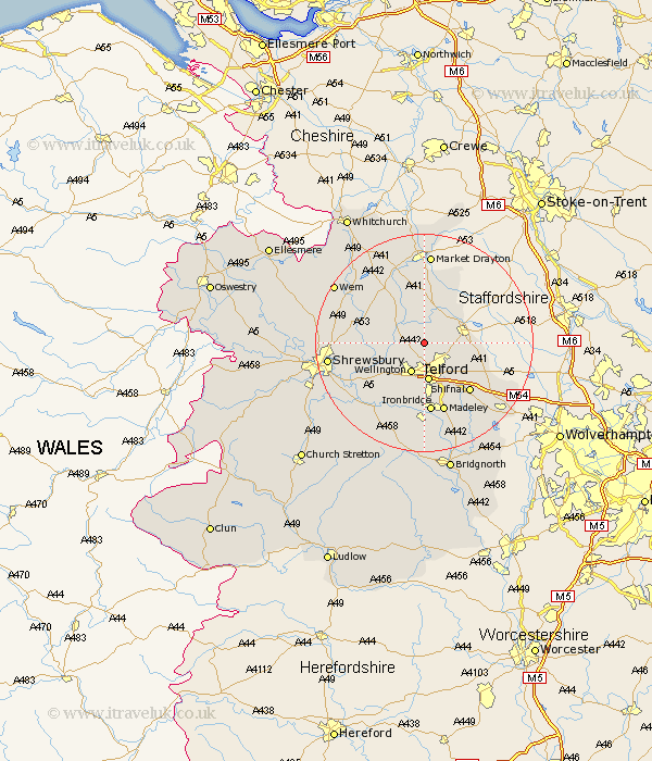
Shropshire Map Showing Location of Kinnersley
Easting: 367379 Northing: 317078
Latitude: 52.75 Longitude: -2.48
 = Kinnersley
Latitude: 52.75 Longitude: -2.48
= Kinnersley
This Kinnersley map below is supplied by Google. Use the tools in the top left corner to zoom into street level or zoom out for a road map, you may also need to zoom in to see Kinnersley on the map. Click and drag the map to move around. If the map fails to load try and refresh your browser or zoom in or out (+ or -).
Update - it seems Google no longer allow people to use their maps for free! This Kinnersley map sometimes loads and sometimes gives a error. I am working on a solution.
Closest 30 Towns or Cities to Kinnersley (Population over 500)
Cherrington 2.17km Trench 3.87km Edgmond 4.86km Donnington 5km Downington 5km Ketley 5.56km Hadley 5.56km Lilleshall 5.91km Wellington 6km Oakengates 6.5km Chetwynd 6.72km Telford 7.1km Newport 7.68km Ercall Magna 7.85km High Ercall 7.85km Wrockwardine 7.9km Rodington 9.17km Dawley 9.33km Hinstock 9.53km Woodcote 10.27km Stoke upon Tern 11.62km Stoke 11.62km Shawbury 11.81km Shifnal 12.15km Hodnet 12.99km Ironbridge 13.02km Madeley 13.41km Stanton upon Hine Heath 13.44km Stanton 13.44km Cheswardine 13.73km