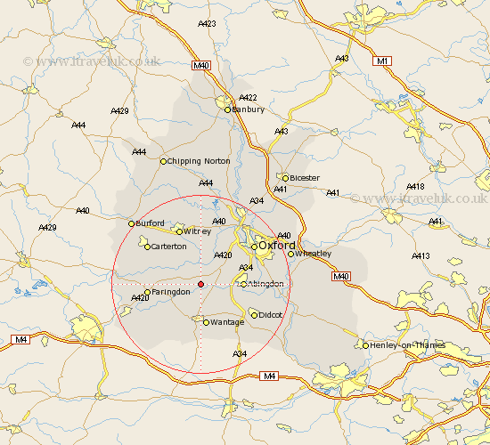
Oxfordshire Map Showing Location of Kingston Bagpuze
Population: 1998
Area Size (ha): 59
District: Vale of White Horse
Easting: 440338 Northing: 196648
Latitude: 51.67 Longitude: -1.42
 = Kingston Bagpuze
Area Size (ha): 59
District: Vale of White Horse
Easting: 440338 Northing: 196648
Latitude: 51.67 Longitude: -1.42
= Kingston Bagpuze
This Kingston Bagpuze map below is supplied by Google. Use the tools in the top left corner to zoom into street level or zoom out for a road map, you may also need to zoom in to see Kingston Bagpuze on the map. Click and drag the map to move around. If the map fails to load try and refresh your browser or zoom in or out (+ or -).
Update - it seems Google no longer allow people to use their maps for free! This Kingston Bagpuze map sometimes loads and sometimes gives a error. I am working on a solution.
Closest 30 Towns or Cities to Kingston Bagpuze (Population over 500)
Longworth 2.17km Standlake 5.56km East Hanney 5.68km Hanney 5.68km Buckland 5.75km Marcham 6.04km Stanford in the Vale 6.84km Stanton Harcourt 7.49km Cumnor 7.99km Wootton 8.86km Steventon 8.86km Drayton 8.87km Abingdon 9.2km Abingdon on Thames 9.2km Abingdon-on-Thames 9.2km Wantage 9.34km Sunningwell 9.38km East Challow 9.55km Bampton 9.78km Milton 9.78km Ducklington 10.34km Childrey 10.35km Sutton Courtenay 11km Letcombe Regis 11.35km Ensham 11.35km Eynsham 11.35km Faringdon 11.64km North Hinksey 11.8km Harwell 11.82km Clanfield 12.07km