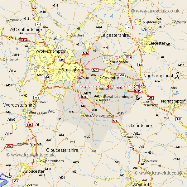
Warwickshire Map Showing Location of Baginton
Population: 801
District: Warwick
Easting: 435175 Northing: 274462
Latitude: 52.37 Longitude: -1.48
 = Baginton
District: Warwick
Easting: 435175 Northing: 274462
Latitude: 52.37 Longitude: -1.48
= Baginton
This Baginton map below is supplied by Google. Use the tools in the top left corner to zoom into street level or zoom out for a road map, you may also need to zoom in to see Baginton on the map. Click and drag the map to move around. If the map fails to load try and refresh your browser or zoom in or out (+ or -).
Update - it seems Google no longer allow people to use their maps for free! This Baginton map sometimes loads and sometimes gives a error. I am working on a solution.
Closest 30 Towns or Cities to Baginton (Population over 500)
Stoneleigh 2.93km Bubbenhall 3.88km Brandon 5.66km Wolston 6.79km Kenilworth 7.04km Coventry 7.17km Allesley 7.17km Keresley 8.15km Leamington Spa 8.16km Royal Leamington Spa 8.16km Leamington 8.16km Brinklow 9.78km Corley 10.31km Berkswell 10.83km Berkeswell 10.83km Shilton 10.85km Bedworth 11.18km Warwick 11.5km Meriden 11.69km Bulkington 12km Long Lawford 12.45km Fillongley 13.02km Long Itchington 13.03km Whitnash 13.17km Hatton 13.54km Temple Balsall 13.58km Dunchurch 14.08km Stockton 14.35km Shrewley 14.5km Southam 14.65km