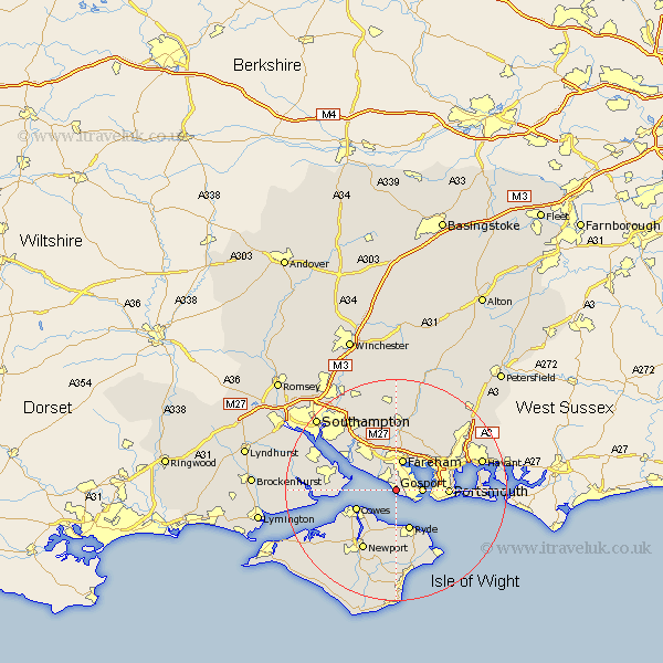
Hampshire Map Showing Location of Lee On The Solent
Population: 7222
Area Size (ha): 189
District: Gosport
Easting: 456370 Northing: 100416
Latitude: 50.8 Longitude: -1.2
 = Lee On The Solent
Area Size (ha): 189
District: Gosport
Easting: 456370 Northing: 100416
Latitude: 50.8 Longitude: -1.2
= Lee On The Solent
This Lee On The Solent map below is supplied by Google. Use the tools in the top left corner to zoom into street level or zoom out for a road map, you may also need to zoom in to see Lee On The Solent on the map. Click and drag the map to move around. If the map fails to load try and refresh your browser or zoom in or out (+ or -).
Update - it seems Google no longer allow people to use their maps for free! This Lee On The Solent map sometimes loads and sometimes gives a error. I am working on a solution.
Closest 30 Towns or Cities to Lee On The Solent (Population over 500)
Gosport 4.69km Fareham 5.68km Porchester 6.93km Portchester 6.93km Ryde 7.77km Cowes 7.95km East Cowes 8.96km Southwick 9.45km Portsmouth 9.47km Wootton 9.55km Southsea 9.55km Locks Heath 9.87km Hamble 9.9km Hample 9.9km Gurnard 9.91km Bursledon 10.21km Fawley 10.7km Northwood 11.06km Wickham 11.36km Seaview 11.63km Netley 11.94km Netley Marsh 11.94km Ashurst 12.04km Newport 12.57km St Helens 12.57km St. Helens 12.57km Saint Helens 12.57km Waltham Chase 12.97km Shidfield 13.03km Shedfield 13.03km