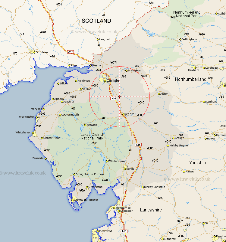
Cumbria Map Showing Location of High Hesket
District: Carlisle
Easting: 348555 Northing: 543459
Latitude: 54.78 Longitude: -2.8
 = High Hesket
Easting: 348555 Northing: 543459
Latitude: 54.78 Longitude: -2.8
= High Hesket
This High Hesket map below is supplied by Google. Use the tools in the top left corner to zoom into street level or zoom out for a road map, you may also need to zoom in to see High Hesket on the map. Click and drag the map to move around. If the map fails to load try and refresh your browser or zoom in or out (+ or -).
Update - it seems Google no longer allow people to use their maps for free! This High Hesket map sometimes loads and sometimes gives a error. I am working on a solution.
Closest 30 Towns or Cities to High Hesket (Population over 500)
Ainstable 4.66km Kirkoswald 6.67km Lazonby 8.49km Lasonby 8.49km Wetheral 9.34km Skelton 10.2km Dalston 13km Hayton 13.37km Carlisle 14.02km Langwathby 14.03km Hesket Newmarket 14.97km Greystoke 15.43km Stanwix 15.53km Farlam 16.61km Irthington 16.81km Thursby 16.96km Caldbeck 16.98km Dacre 18.65km Brampton 19.02km Culgaith 19.61km Rockcliff 20.39km Rockcliffe 20.39km Westward 21.37km Burgh 21.82km Burgh by Sands 21.82km Burgh-by-Sands 21.82km Wigton 23.11km Kirkby Thore 24.52km Longtown 26.35km Long Marston 27.33km