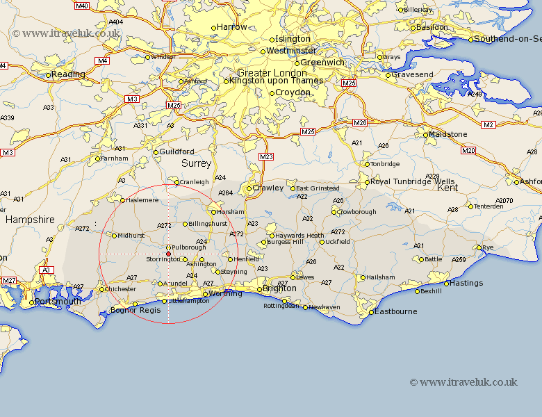
Sussex Map Showing Location of Hardham
District: Horsham
Easting: 504221 Northing: 115980
Latitude: 50.93 Longitude: -0.52
 = Hardham
Easting: 504221 Northing: 115980
Latitude: 50.93 Longitude: -0.52
= Hardham
This Hardham map below is supplied by Google. Use the tools in the top left corner to zoom into street level or zoom out for a road map, you may also need to zoom in to see Hardham on the map. Click and drag the map to move around. If the map fails to load try and refresh your browser or zoom in or out (+ or -).
Update - it seems Google no longer allow people to use their maps for free! This Hardham map sometimes loads and sometimes gives a error. I am working on a solution.
Closest 30 Towns or Cities to Hardham (Population over 500)
Coldwaltham 1.17km Pulborough 1.86km Amberley 2.18km Fittleworth 3.97km West Chiltington 4.67km West Chillington 4.67km Storrington 4.97km Bury 5.1km Thakeham 7.01km Petworth 8.06km Tillington 8.94km Washington 8.98km Wisborough Green 9.35km Ashington 9.53km Arundel 9.55km Kirdford 9.56km Billingshurst 10.38km Shipley 11.15km Walberton 11.62km Graffham 11.68km Slindon 12.36km Findon 12.36km Angmering 13.17km West Grinstead 13.37km Plaistow 13.44km Ford 13.78km Lurgashall 14.01km Itchingfield 14.52km Eastergate 14.53km Loxwood 14.83km