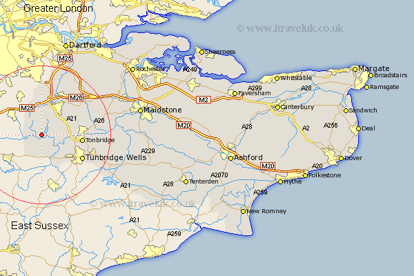
Kent Map Showing Location of Harbrough
District: Sevenoaks
Easting: 547864 Northing: 146718
Latitude: 51.2 Longitude: 0.12
 = Harbrough
Easting: 547864 Northing: 146718
Latitude: 51.2 Longitude: 0.12
= Harbrough
This Harbrough map below is supplied by Google. Use the tools in the top left corner to zoom into street level or zoom out for a road map, you may also need to zoom in to see Harbrough on the map. Click and drag the map to move around. If the map fails to load try and refresh your browser or zoom in or out (+ or -).
Update - it seems Google no longer allow people to use their maps for free! This Harbrough map sometimes loads and sometimes gives a error. I am working on a solution.
Closest 30 Towns or Cities to Harbrough (Population over 500)
Ide Hill 3.88km Hever 3.88km Chiddingstone 3.88km Edenbridge 3.95km Weald 5km Penshurst 5.94km Leigh 7.21km Brasted 7.51km Westerham 7.77km Cowden 7.77km Hildenborough 8.13km Chevening 9.33km Sevenoaks 9.42km Bidborough 9.85km Southborough 9.85km Speldhurst 10.18km Knockholt 11.18km Seal 11.59km Tonbridge 11.76km Otford 12.05km Halstead 13.03km Halsted 13.03km Fort Halstead 13.03km Kemsing 13.77km Shoreham 13.78km Turnbridge Wells 13.79km Tunbridge Wells 13.79km Royal Tunbridge Wells 13.79km Plaxtol 13.93km Hadlow 15.21km