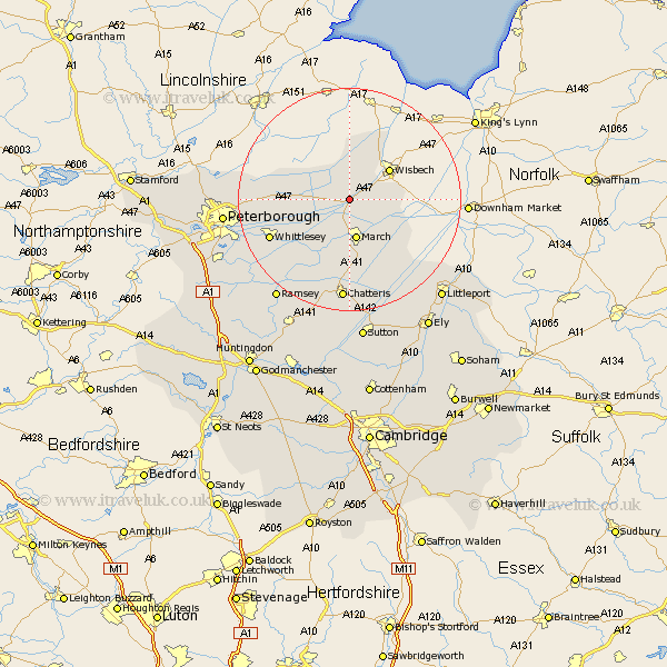
Cambridgeshire Map Showing Location of Guyhirne
District: Fenland
Easting: 539898 Northing: 304147
Latitude: 52.62 Longitude: 0.07
 = Guyhirne
Easting: 539898 Northing: 304147
Latitude: 52.62 Longitude: 0.07
= Guyhirne
This Guyhirne map below is supplied by Google. Use the tools in the top left corner to zoom into street level or zoom out for a road map, you may also need to zoom in to see Guyhirne on the map. Click and drag the map to move around. If the map fails to load try and refresh your browser or zoom in or out (+ or -).
Update - it seems Google no longer allow people to use their maps for free! This Guyhirne map sometimes loads and sometimes gives a error. I am working on a solution.
Closest 30 Towns or Cities to Guyhirne (Population over 500)
March 7.5km Elm 8.09km Wisbech 8.74km Newton 10.3km Thorney 11.25km Wimblington 12.98km Doddington 14.83km Whittlesey 15.41km Manea 16.8km Eye 16.98km Chatteris 18.57km Newborough 19.13km Peterborough 21.71km Petersborough 21.71km Peterbrough 21.71km Farcet 22.29km Ramsey 22.3km Glinton 23.7km Downham 23.87km Northborough 23.91km Mepal 24.33km Littleport 24.34km Bury 24.94km Yaxley 25.03km Warboys 25.73km Orton Waterville 25.86km Sutton 26.05km Holme 26.26km Somersham 26.34km Wistow 26.61km