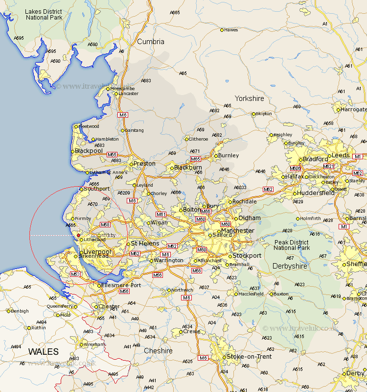
Lancashire Map Showing Location of Little Crosby
District: Sefton
Easting: 332542 Northing: 399017
Latitude: 53.48 Longitude: -3.02
 = Little Crosby
Easting: 332542 Northing: 399017
Latitude: 53.48 Longitude: -3.02
= Little Crosby
This Little Crosby map below is supplied by Google. Use the tools in the top left corner to zoom into street level or zoom out for a road map, you may also need to zoom in to see Little Crosby on the map. Click and drag the map to move around. If the map fails to load try and refresh your browser or zoom in or out (+ or -).
Update - it seems Google no longer allow people to use their maps for free! This Little Crosby map sometimes loads and sometimes gives a error. I am working on a solution.
Closest 30 Towns or Cities to Little Crosby (Population over 500)
Crosby 1.26km Bootle 1.85km Litherland 2.15km Thornton 2.16km Ince Blundell 3.71km Sefton 3.79km Hightown 4.32km Lydiate 4.97km Maghull 5.77km Aintree 5.82km Melling 6.62km Liverpool 7.49km Kirkby 7.72km Formby 7.74km Aughton 8.64km Knowsley 11.64km Halsall 11.96km Ormskirk 12.06km Bickerstaffe 12.68km Scarisbrick 14.1km Huyton with Roby 14.41km Huyton 14.41km Rainford 14.8km Skelmersdale 15.37km Eccleston 15.88km Prescott 16.15km Prescot 16.15km Lathom 16.15km Burscough 16.45km Halewood 18.54km