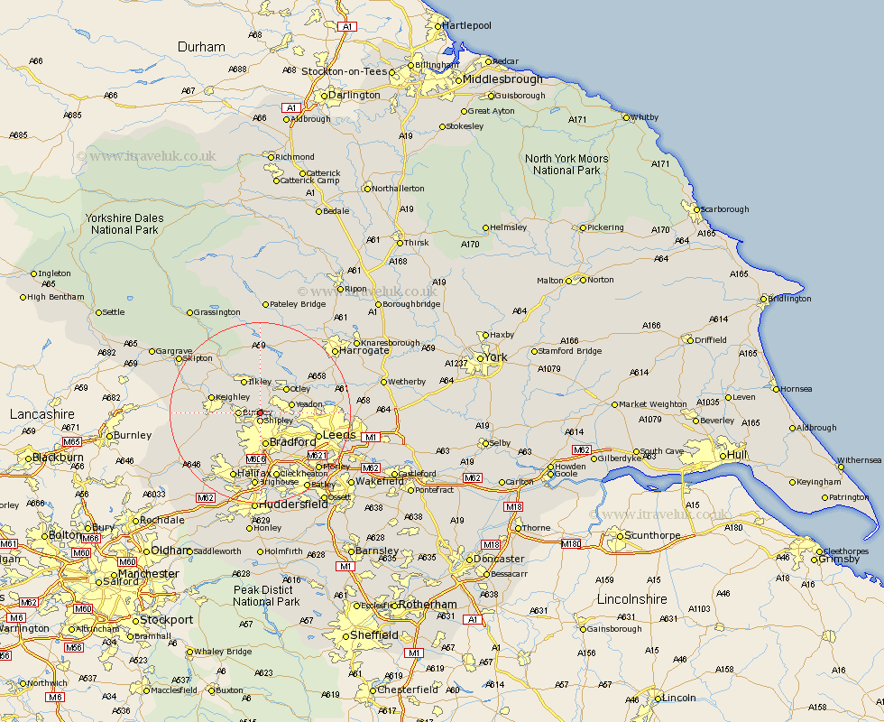
Yorkshire Map Showing Location of Baildon
Population: 14956
Area Size (ha): 380
District: Bradford
Easting: 415348 Northing: 439355
Latitude: 53.85 Longitude: -1.77
 = Baildon
Area Size (ha): 380
District: Bradford
Easting: 415348 Northing: 439355
Latitude: 53.85 Longitude: -1.77
= Baildon
This Baildon map below is supplied by Google. Use the tools in the top left corner to zoom into street level or zoom out for a road map, you may also need to zoom in to see Baildon on the map. Click and drag the map to move around. If the map fails to load try and refresh your browser or zoom in or out (+ or -).
Update - it seems Google no longer allow people to use their maps for free! This Baildon map sometimes loads and sometimes gives a error. I am working on a solution.
Closest 30 Towns or Cities to Baildon (Population over 500)
Baildon 0km Shipley 1.86km Guiseley 3.77km Menston 4.3km Bingley 4.37km Yeadon 6.82km Bradford 7.5km Burley 7.5km Burley in Wharfedale 7.5km Wilsden 7.53km Otley 7.79km Ilkley 8.11km Horsforth 8.94km Cullingworth 9.5km Pudsey 9.9km Bramhope 10.51km Keighley 10.51km Poole 11.3km Pool-in-Wharfedale 11.3km Pool 11.3km Denholme 11.47km Addingham 12.01km Silsden 12.26km Arthington Junction Station 12.26km Arthington 12.26km Steeton 12.58km Haworth 12.59km Leeds 13.26km Oxenhope 13.26km Queensbury 13.52km