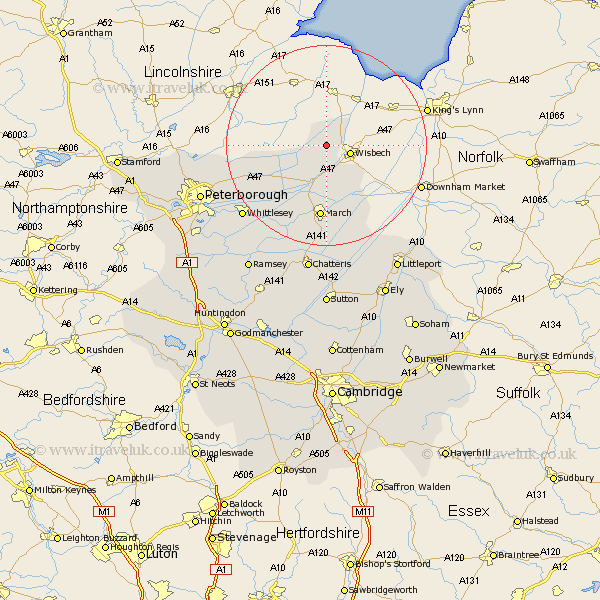
Cambridgeshire Map Showing Location of Gorfield
District: Fenland
Easting: 541938 Northing: 311619
Latitude: 52.68 Longitude: 0.1
 = Gorfield
Easting: 541938 Northing: 311619
Latitude: 52.68 Longitude: 0.1
= Gorfield
This Gorfield map below is supplied by Google. Use the tools in the top left corner to zoom into street level or zoom out for a road map, you may also need to zoom in to see Gorfield on the map. Click and drag the map to move around. If the map fails to load try and refresh your browser or zoom in or out (+ or -).
Update - it seems Google no longer allow people to use their maps for free! This Gorfield map sometimes loads and sometimes gives a error. I am working on a solution.
Closest 30 Towns or Cities to Gorfield (Population over 500)
Newton 2.91km Wisbech 4.86km Elm 7.91km March 14.87km Thorney 15.39km Wimblington 20.51km Eye 21.24km Whittlesey 21.63km Doddington 22.35km Newborough 22.61km Manea 22.94km Petersborough 26.11km Peterbrough 26.11km Peterborough 26.11km Northborough 26.11km Chatteris 26.16km Glinton 26.45km Farcet 28.01km Littleport 29.25km Downham 29.59km Ramsey 29.79km Helpston 30.16km Helpstone 30.16km Orton Waterville 30.81km Yaxley 31.22km Mepal 31.52km Castor 31.99km Bury 32.58km Holme 32.98km Sutton 33.36km