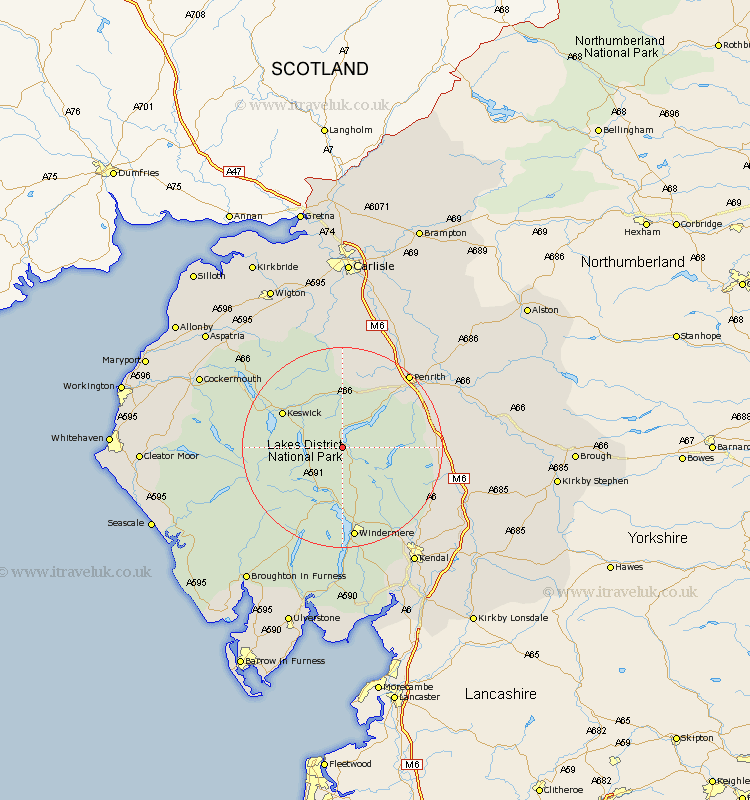
Cumbria Map Showing Location of Glenridding
District: Eden
Easting: 338533 Northing: 515765
Latitude: 54.53 Longitude: -2.95
 = Glenridding
Easting: 338533 Northing: 515765
Latitude: 54.53 Longitude: -2.95
= Glenridding
This Glenridding map below is supplied by Google. Use the tools in the top left corner to zoom into street level or zoom out for a road map, you may also need to zoom in to see Glenridding on the map. Click and drag the map to move around. If the map fails to load try and refresh your browser or zoom in or out (+ or -).
Update - it seems Google no longer allow people to use their maps for free! This Glenridding map sometimes loads and sometimes gives a error. I am working on a solution.
Closest 30 Towns or Cities to Glenridding (Population over 500)
Dacre 11.94km Ambleside 13.01km Koswick 13.06km Keswick 13.06km Greystoke 14.04km Shap 18.38km Windermere 18.65km Hawkshead 18.81km Skelton 19.3km Coniston 20km Conistan 20km Staveley 20.43km Hesket Newmarket 22.65km Caldbeck 23.15km Crosby Ravensworth 23.73km Langwathby 24.72km Orton 25.84km Culgaith 26.02km Tebay 27.01km Kendal 27.34km Kendall 27.34km Kirkby Thore 27.4km Lasonby 27.45km Lazonby 27.45km Long Marton 28.9km Long Marston 28.9km Lamplugh 29.26km Cockermouth 29.73km Westward 30.2km Appleby 30.32km