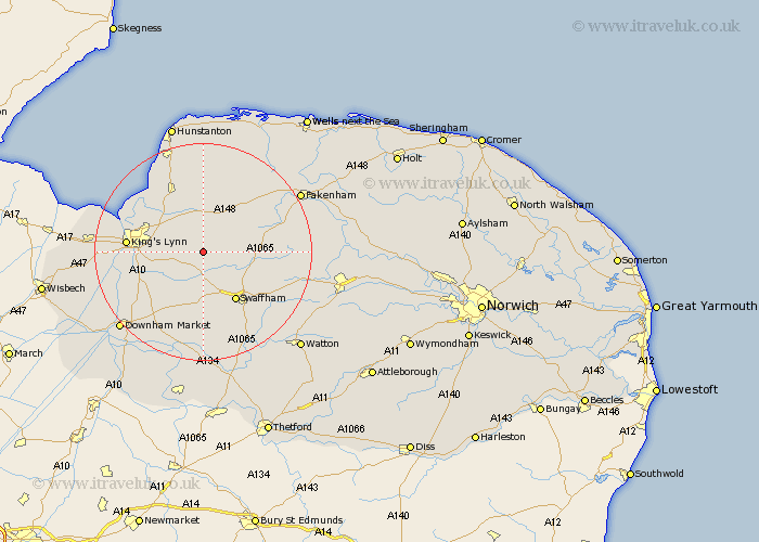
Norfolk Map Showing Location of Gayton Thorpe
District: King's Lynn and West Norfolk
Easting: 574402 Northing: 318241
Latitude: 52.73 Longitude: 0.58
 = Gayton Thorpe
Easting: 574402 Northing: 318241
Latitude: 52.73 Longitude: 0.58
= Gayton Thorpe
This Gayton Thorpe map below is supplied by Google. Use the tools in the top left corner to zoom into street level or zoom out for a road map, you may also need to zoom in to see Gayton Thorpe on the map. Click and drag the map to move around. If the map fails to load try and refresh your browser or zoom in or out (+ or -).
Update - it seems Google no longer allow people to use their maps for free! This Gayton Thorpe map sometimes loads and sometimes gives a error. I am working on a solution.
Closest 30 Towns or Cities to Gayton Thorpe (Population over 500)
Gayton 2.24km Grimston 4.34km Narborough 5.56km East Winch 5.61km Great Massingham 6.73km Massingham 6.73km Castle Acre 7.69km Middleton 8.07km Marham 9.53km South Wootton 10.76km North Runcton 10.76km Swaffham 10.83km Shouldham 11.46km North Wootton 11.52km Great Palgrave 12.53km Palgrave 12.53km East Rudham 12.9km Bircham 13.4km Great Bircham 13.4km King's Lynn 13.59km Kings Lynn 13.59km Lynn Regis 13.59km Lynn 13.59km Dersingham 14.13km Litcham 14.71km Tatterset 15.01km Tattersett 15.01km Watlington 15.38km Runcton 15.44km Runcton Holme 15.44km