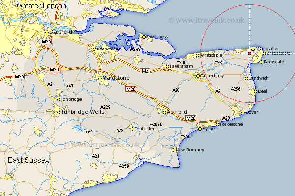
Kent Map Showing Location of Garlinge
District: Thanet
Easting: 634318 Northing: 168506
Latitude: 51.37 Longitude: 1.37
 = Garlinge
Easting: 634318 Northing: 168506
Latitude: 51.37 Longitude: 1.37
= Garlinge
This Garlinge map below is supplied by Google. Use the tools in the top left corner to zoom into street level or zoom out for a road map, you may also need to zoom in to see Garlinge on the map. Click and drag the map to move around. If the map fails to load try and refresh your browser or zoom in or out (+ or -).
Update - it seems Google no longer allow people to use their maps for free! This Garlinge map sometimes loads and sometimes gives a error. I am working on a solution.
Closest 30 Towns or Cities to Garlinge (Population over 500)
Manston 1.86km Margate 2.31km St. Peters 3.47km St Peter Extra 3.47km St. Peter Extra 3.47km St Peters 3.47km Saint Peter's 3.47km Saint Peters 3.47km Thanet 3.47km Birchington 4.63km Broadstairs 5.78km Ramsgate 5.93km Minster 6.56km Monkton 6.88km St. Nicholas at Wade 8.31km St Nicholas at Wade 8.31km Saint Nicholas at Wade 8.31km Sandwich 11.18km Preston 11.87km Chislet 12.16km Worth 13.03km Hoath 14.38km Broomfield 15.14km Wingham 15.24km Staple 15.3km Eastry 15.54km Herne Bay 16.2km Sholden 16.72km Deal 16.84km Northbourne 16.84km