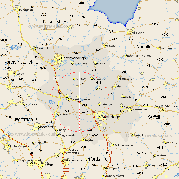
Cambridgeshire Map Showing Location of Fen Stanton
Population: 2327
Area Size (ha): 58
District: Huntingdonshire
Easting: 531816 Northing: 268678
Latitude: 52.3 Longitude: -0.07
 = Fen Stanton
Area Size (ha): 58
District: Huntingdonshire
Easting: 531816 Northing: 268678
Latitude: 52.3 Longitude: -0.07
= Fen Stanton
This Fen Stanton map below is supplied by Google. Use the tools in the top left corner to zoom into street level or zoom out for a road map, you may also need to zoom in to see Fen Stanton on the map. Click and drag the map to move around. If the map fails to load try and refresh your browser or zoom in or out (+ or -).
Update - it seems Google no longer allow people to use their maps for free! This Fen Stanton map sometimes loads and sometimes gives a error. I am working on a solution.
Closest 30 Towns or Cities to Fen Stanton (Population over 500)
Hemingford Abbots 2.93km West Hemingford 2.93km Hemingford 3.87km Hemingford Grey 3.87km Needingworth 3.87km Hilton 4.34km Swavesey 4.53km Wyton 5.03km Elsworth 5.56km Over 5.96km Godmanchester 7.05km Durolipons 7.05km Earith 7.94km Bluntisham 7.94km Long Stanton 8.15km Papworth 8.16km Papworth Everard 8.16km Huntingdon 8.75km Willingham 9.25km Offord Cluny 9.26km Offord 9.26km Colne 9.33km Oakington 9.8km Dry Drayton 10.07km Somersham 10.31km Warboys 11.12km Wistow 11.35km Brampton Grange 11.48km Brampton 11.48km Great Paxton 11.62km