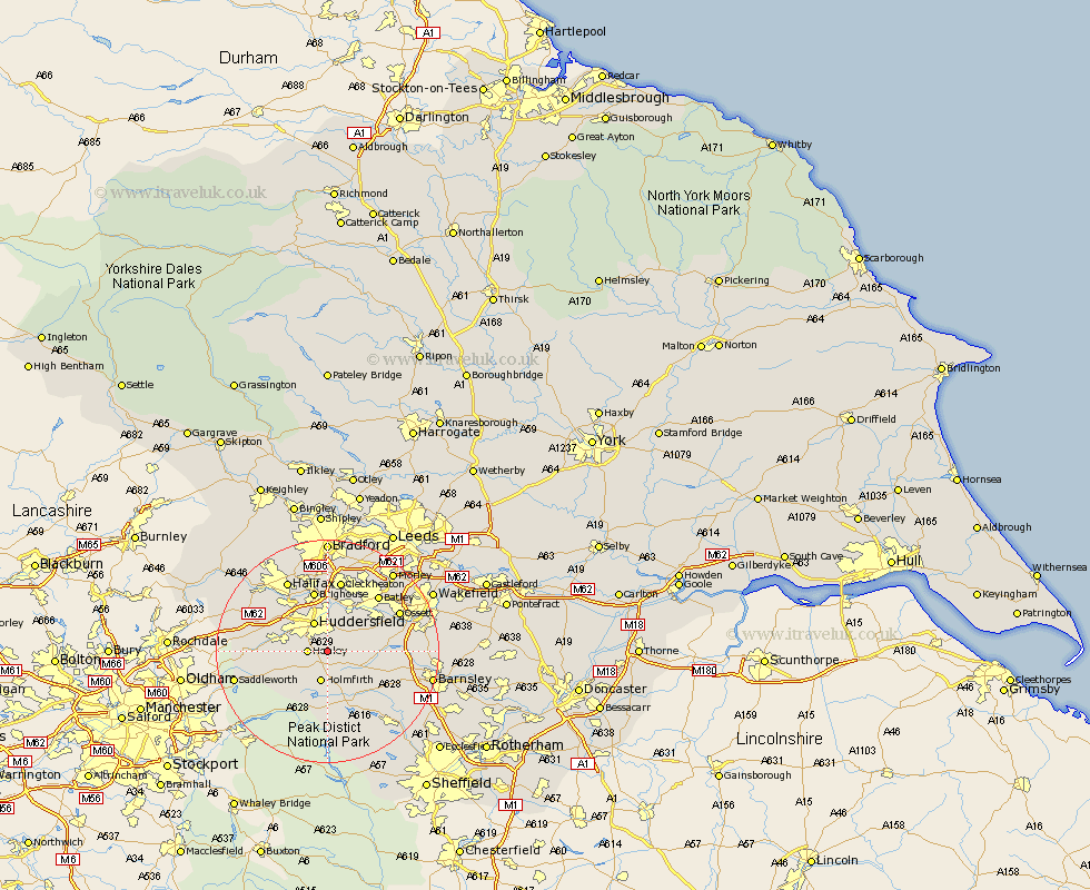
Yorkshire Map Showing Location of Farnley Tyas
District: Kirklees
Easting: 416542 Northing: 411547
Latitude: 53.6 Longitude: -1.75
 = Farnley Tyas
Easting: 416542 Northing: 411547
Latitude: 53.6 Longitude: -1.75
= Farnley Tyas
This Farnley Tyas map below is supplied by Google. Use the tools in the top left corner to zoom into street level or zoom out for a road map, you may also need to zoom in to see Farnley Tyas on the map. Click and drag the map to move around. If the map fails to load try and refresh your browser or zoom in or out (+ or -).
Update - it seems Google no longer allow people to use their maps for free! This Farnley Tyas map sometimes loads and sometimes gives a error. I am working on a solution.
Closest 30 Towns or Cities to Farnley Tyas (Population over 500)
Shepley 2.88km Kirkburton 3.3km Honley 3.3km Shelley 4.4km Holmfirth 5.67km Huddersfield 5.98km Denby Dale 6.63km Meltham 6.86km Holme 7.82km Emley 7.92km Mirfield 8.62km Dunford Bridge 9.26km Elland 10.77km Brighouse 11.33km Middletown 11.35km Middlestown 11.35km Liversedge 11.6km Cawthorne 11.61km West Bretton 12.24km Bretton 12.24km Heckmondwike 12.4km Penistone 12.78km Cleckheaton 13.16km Batley 13.43km Dewsbury 14.17km Drewsbury 14.17km Ossett 14.18km Silkstone 14.2km Darton 14.42km Halifax 14.55km