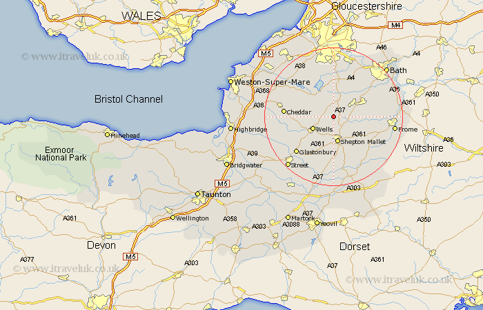
Somerset Map Showing Location of Emborrow
District: Mendip
Easting: 360454 Northing: 150301
Latitude: 51.25 Longitude: -2.57
 = Emborrow
Easting: 360454 Northing: 150301
Latitude: 51.25 Longitude: -2.57
= Emborrow
This Emborrow map below is supplied by Google. Use the tools in the top left corner to zoom into street level or zoom out for a road map, you may also need to zoom in to see Emborrow on the map. Click and drag the map to move around. If the map fails to load try and refresh your browser or zoom in or out (+ or -).
Update - it seems Google no longer allow people to use their maps for free! This Emborrow map sometimes loads and sometimes gives a error. I am working on a solution.
Closest 30 Towns or Cities to Emborrow (Population over 500)
Chewton Mendip 2.19km Farrington Gurney 4.37km Stratton-on-the-Fosse 5km Chilcompton 5km Stratton on the Fosse 5km Stratton 5km Holcombe 6.09km Wells 6.88km East Harptree 7.24km Paulton 7.24km Shepun 7.51km Shepton Mallet 7.51km Coleford 7.87km Compton Martin 8.03km Leigh on Mendip 8.93km Leigh 8.93km Leigh upon Mendip 8.93km Leigh-on-Mendip 8.93km Pilton 9.33km Timsbury 9.41km Kilmersden 9.46km Kilmersdon 9.46km Clutton 9.55km Wookey 9.84km Temple Cloud 10.03km Farmboro 10.36km Farmborough 10.36km Westbury 10.6km Camerton 10.99km Rodney Stoke 11.6km