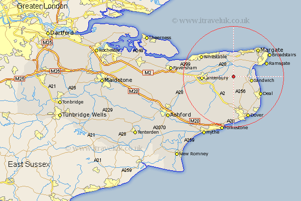
Kent Map Showing Location of Elmstone
District: Dover
Easting: 626611 Northing: 158869
Latitude: 51.28 Longitude: 1.25
 = Elmstone
Easting: 626611 Northing: 158869
Latitude: 51.28 Longitude: 1.25
= Elmstone
This Elmstone map below is supplied by Google. Use the tools in the top left corner to zoom into street level or zoom out for a road map, you may also need to zoom in to see Elmstone on the map. Click and drag the map to move around. If the map fails to load try and refresh your browser or zoom in or out (+ or -).
Update - it seems Google no longer allow people to use their maps for free! This Elmstone map sometimes loads and sometimes gives a error. I am working on a solution.
Closest 30 Towns or Cities to Elmstone (Population over 500)
Preston 2.19km Wingham 2.96km Staple 3.7km Minster 5.94km Monkton 6.02km Littlebourne 6.08km Chislet 6.56km Eastry 6.56km Sandwich 7.2km St Nicholas at Wade 7.42km Saint Nicholas at Wade 7.42km St. Nicholas at Wade 7.42km Worth 7.88km Hoath 8.03km Sturry 9.27km Northbourne 9.41km Birchington 9.9km Broomfield 10.28km Bridge 10.82km Manston 10.99km Sibertswold 11.18km Shepherdswell 11.18km Eythorne 11.36km Hackington 11.59km Sholden 11.87km Canterbury 12.31km Herne Bay 12.32km Mongeham 12.32km Great Mongeham 12.32km Deal 12.8km