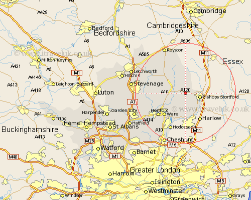
Hertfordshire Map Showing Location of Little Hadham
Population: 1081
District: East Hertfordshire
Easting: 543372 Northing: 222626
Latitude: 51.88 Longitude: 0.08
 = Little Hadham
District: East Hertfordshire
Easting: 543372 Northing: 222626
Latitude: 51.88 Longitude: 0.08
= Little Hadham
This Little Hadham map below is supplied by Google. Use the tools in the top left corner to zoom into street level or zoom out for a road map, you may also need to zoom in to see Little Hadham on the map. Click and drag the map to move around. If the map fails to load try and refresh your browser or zoom in or out (+ or -).
Update - it seems Google no longer allow people to use their maps for free! This Little Hadham map sometimes loads and sometimes gives a error. I am working on a solution.
Closest 30 Towns or Cities to Little Hadham (Population over 500)
Albury 1.86km Standon 3.43km Much Hadham 3.7km Braughing 4.94km Thorley 5.89km Bishop's Stortford 6.01km Bishops Strotford 6.01km Bishops Stortford 6.01km Widford 8.16km Hormead 8.17km Sawbridgeworth 8.71km Thundridge 8.84km Little Munden 9.34km Buntingford 10.1km Stanstead Abbots 12.03km Ware 12.25km Bennington 12.58km Benington 12.58km Cottered 12.71km Great Amwell 13.07km Watton 13.12km Watton at Stone 13.12km Little Amwell 13.71km Barkway 13.76km Stapleford 13.76km Hertford 13.86km Walkern 15.32km Hoddesdon 15.89km Aston 16.01km Datchworth 16.44km