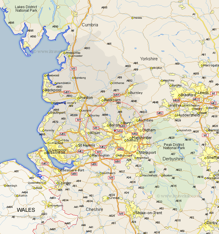
Lancashire Map Showing Location of Little Lever
Population: 11355
Area Size (ha): 190
District: Bolton
Easting: 375709 Northing: 406019
Latitude: 53.55 Longitude: -2.37
 = Little Lever
Area Size (ha): 190
District: Bolton
Easting: 375709 Northing: 406019
Latitude: 53.55 Longitude: -2.37
= Little Lever
This Little Lever map below is supplied by Google. Use the tools in the top left corner to zoom into street level or zoom out for a road map, you may also need to zoom in to see Little Lever on the map. Click and drag the map to move around. If the map fails to load try and refresh your browser or zoom in or out (+ or -).
Update - it seems Google no longer allow people to use their maps for free! This Little Lever map sometimes loads and sometimes gives a error. I am working on a solution.
Closest 30 Towns or Cities to Little Lever (Population over 500)
Kearsley 2.16km Radcliffe 2.2km Farnworth 2.2km Pendlebury 4.31km Walkden 4.31km Whitefield 4.4km Swinton 5.67km Bolton 5.75km Prestwich 5.81km Tottington 5.98km Bradshaw 5.98km Bromley Cross 5.98km Bury 7.09km Tyldesley 7.58km Eccles 7.74km Turton 9.52km Atherton 9.56km Ramsbottom 9.83km Westhoughton 9.91km Salford 9.93km Heywood 10.58km Middleton 11.01km Urmston 11.17km Manchester 11.37km Stretford 11.6km Leigh 12.38km Horwich 13.32km Irlam 13.39km Edenfield 13.7km Hindley 14.44km