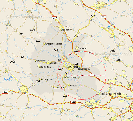
Oxfordshire Map Showing Location of Little Milton
Population: 493
District: South Oxfordshire
Easting: 462213 Northing: 198716
Latitude: 51.68 Longitude: -1.1
 = Little Milton
District: South Oxfordshire
Easting: 462213 Northing: 198716
Latitude: 51.68 Longitude: -1.1
= Little Milton
This Little Milton map below is supplied by Google. Use the tools in the top left corner to zoom into street level or zoom out for a road map, you may also need to zoom in to see Little Milton on the map. Click and drag the map to move around. If the map fails to load try and refresh your browser or zoom in or out (+ or -).
Update - it seems Google no longer allow people to use their maps for free! This Little Milton map sometimes loads and sometimes gives a error. I am working on a solution.
Closest 30 Towns or Cities to Little Milton (Population over 500)
Stadhampton 2.95km Great Haseley 2.95km Chalgrove 3.88km Milton 3.89km Great Milton 3.89km Garsington 3.91km Drayton 4.36km Drayton St. Leonard 4.36km Drayton Saint Leonard 4.36km Drayton St Leonard 4.36km Cuddesdon 4.37km Benson 5.67km Tiddington 6.02km Wheatley 6.02km Tetsworth 7.14km Dorchester 7.22km Warborough 7.75km Clifton Hampden 7.83km Littlemore 8.86km Watlington 8.86km Radley 9.19km Lewknor 9.38km Wallingford 9.54km Ewelme 9.54km Aston Rowant 10.51km Long Wittenham 10.75km Thame 10.94km Beckley 12.51km Sunningwell 12.64km Oxford 12.72km