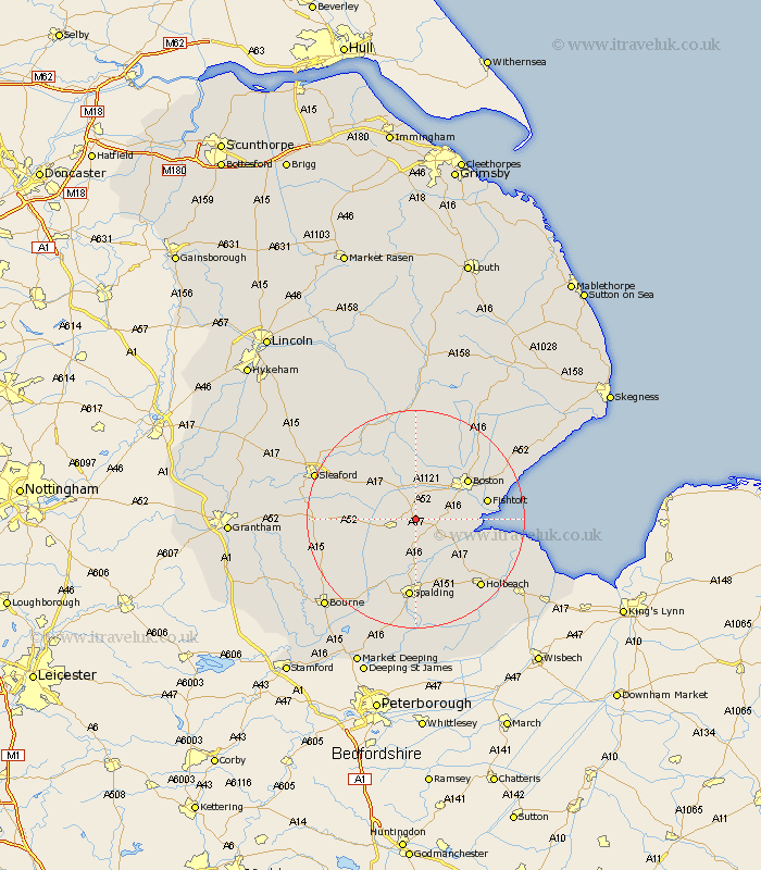
Lincolnshire Map Showing Location of Drayton
District: Boston
Easting: 524375 Northing: 337112
Latitude: 52.92 Longitude: -0.15
 = Drayton
Easting: 524375 Northing: 337112
Latitude: 52.92 Longitude: -0.15
= Drayton
This Drayton map below is supplied by Google. Use the tools in the top left corner to zoom into street level or zoom out for a road map, you may also need to zoom in to see Drayton on the map. Click and drag the map to move around. If the map fails to load try and refresh your browser or zoom in or out (+ or -).
Update - it seems Google no longer allow people to use their maps for free! This Drayton map sometimes loads and sometimes gives a error. I am working on a solution.
Closest 30 Towns or Cities to Drayton (Population over 500)
Bicker 1.12km Swineshead 1.85km Donington 3.83km Sutterton 4.84km Quadring 5.67km Kirton 6.7km Gosberton 7.42km Brothertoft 8.13km Frampton 8.94km Wyberton 9.13km Surfleet 9.34km Hale 9.67km Great Hale 9.67km Helpringham 10.22km Heckington 10.52km Boston 11.6km Fishtoft 12.83km Billingborough 12.85km Pinchbeck 12.98km Weston 14.13km Pointon 14.36km Freiston 14.51km Frieston 14.51km Spalding 14.87km Frithville 15.14km Moulton 16.28km Butterwick 16.3km Whaplode 16.77km Sibsey 17.11km Holbeach 17.13km