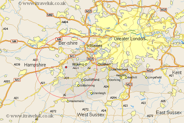
Surrey Map Showing Location of Deepcut
Population: 1443
Area Size (ha): 57
District: Surrey Heath
Easting: 489458 Northing: 156491
Latitude: 51.3 Longitude: -0.72
 = Deepcut
Area Size (ha): 57
District: Surrey Heath
Easting: 489458 Northing: 156491
Latitude: 51.3 Longitude: -0.72
= Deepcut
This Deepcut map below is supplied by Google. Use the tools in the top left corner to zoom into street level or zoom out for a road map, you may also need to zoom in to see Deepcut on the map. Click and drag the map to move around. If the map fails to load try and refresh your browser or zoom in or out (+ or -).
Update - it seems Google no longer allow people to use their maps for free! This Deepcut map sometimes loads and sometimes gives a error. I am working on a solution.
Closest 30 Towns or Cities to Deepcut (Population over 500)
Frimley 1.16km Camberley 5.68km Camberly 5.68km Pirbright 6.09km Normandy 6.56km Bisley 6.87km Bagshot 7.77km Worplesdon 8.32km Windlesham 8.74km Chobham 8.91km Tongham 9.34km Seale 11.12km Puttenham 11.65km Farnham 12.54km Compton 12.54km Woking 12.88km Send 12.88km Virginia Water 13.76km Ottershaw 13.9km Guildford 13.96km Guilford 13.96km Elstead 14.87km Shalford 15.25km Godalming 15.31km Goldaming 15.31km Milford 15.92km West Clandon 16.07km Ripley 16.33km Egham 16.64km St Martha 16.72km